Fox News Flash top headlines for March 11
Fox News Flash top headlines are here. Check out what's clicking on Foxnews.com.
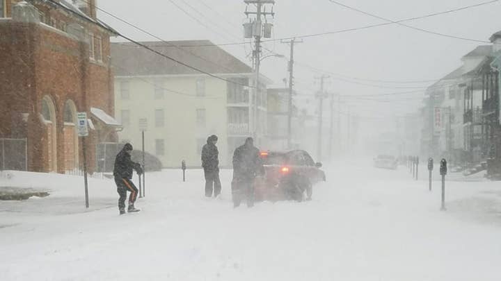
A major winter storm is expected to intensify into a powerful bomb cyclone over the weekend.
According to Fox Weather, the system will bring snow from parts of the Plains and Midwest and into the South on Friday, before blasting the East Coast with heavy snow and high winds on Saturday.
FLORIDA WILDFIRES FORCE EVACUATION OF 1,100 HOMES AS FIREFIGHTERS BATTLE BLAZES
Bomb cyclone is a term used to describe a low-pressure system that undergoes "bombogenesis."
Bombogenesis is defined as a rapid pressure drop of at least 24 millibars in 24 hours or less.
The lower the pressure is, the higher the strength of the winds.
It can also bring intense impacts like rain and coastal flooding.
Bomb cyclones are more common in the Pacific Ocean but do happen in the Atlantic Ocean.
In October 2021, the U.S. experienced three bomb cyclones between the Pacific and Atlantic coasts.
A study published in the Journal of Applied Meteorology and Climatology found that 69% of nearly 800 bomb cyclones that occurred in the Pacific Ocean over 15 years frequently happened from December to February and early March.
TOWNS IN IOWA LOOK TO RECOVER AFTER TORNADO KILLS AT LEAST 7, DAMAGES OVER 50 HOMES
This week, advisories have been issued from the Central and Southern Plains to the Midwest and the interior Northeast.
Those included in the Winter Storm Warnings and Watches are expected to see the worst driving conditions due to the snow.
On Friday snow is forecast to spread as far south as Oklahoma and northern Texas and into the mid-Mississippi Valley and portions of the southern Great Lakes.
By the evening, rain could change to snow from the interior Northeast to the Ohio and Tennessee valleys.
Winds will also pick up from northern Florida to parts of New England, with the potential for power outages and downed trees.
Wind-driven snow is expected on Saturday from the Appalachians to the eastern Great Lakes, Pennsylvania, upstate New York and northern New England.
CLICK HERE TO GET THE FOX NEWS APP
Thunderstorms and rain could change to wet snow late Saturday along the Interstate 95 urban corridor. and the snow will end during the evening as the storm shifts over Atlantic Canada.
Slick roads could linger into Sunday morning across the Northeast with temperatures plunging below freezing.


