Fox News Flash top headlines for September 28
Fox News Flash top headlines are here. Check out what's clicking on Foxnews.com.
Wildfires that are raging in parts of California will have favorable weather conditions to grow on Monday, as a dome of heat will allow record heat this week.
Over 70 large fires at 100 acres or greater are currently burning across the West.
Fire weather conditions continue across California, as conditions worsen to start the week.
CALIFORNIA WILDFIRES RAGE AS WINE COUNTRY BLAZE FORCES EVACUATION OF HOSPITAL, HUNDREDS OF HOMES
In much of the state, fire weather watches and red flag warnings are in effect.

Dangerous fire weather conditions stretch through California on Monday, Sept. 28, 2020. (Fox News)
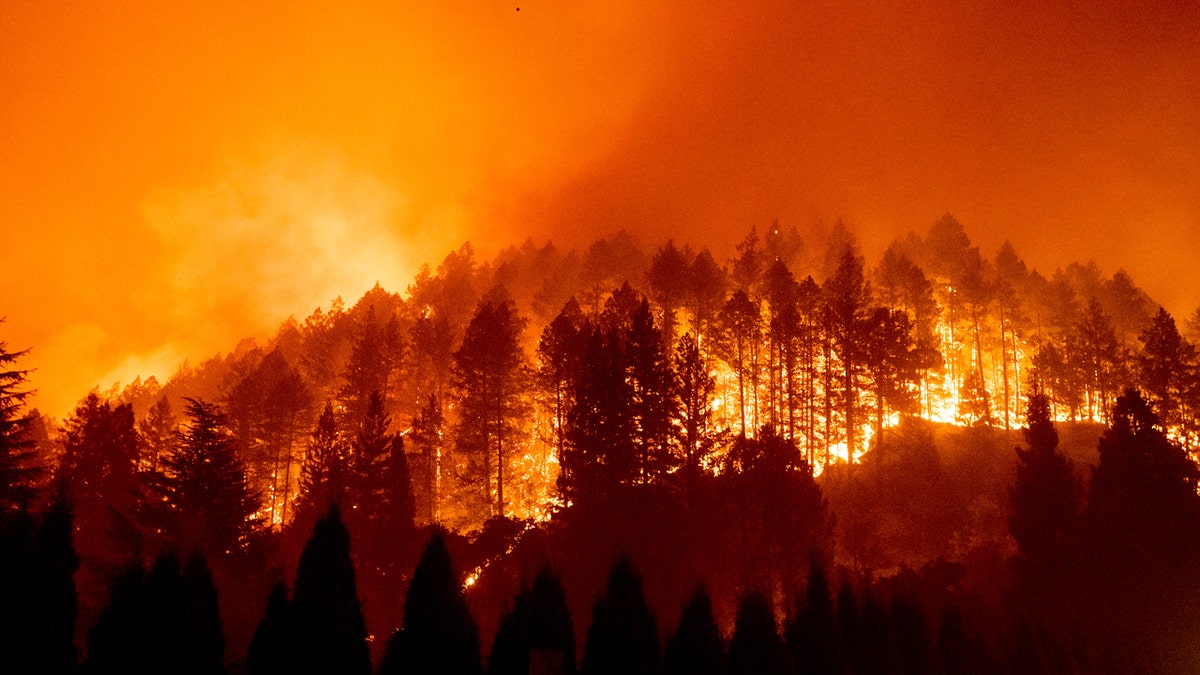
A new wildfire broke out Sunday in Napa County, prompting evacuations of hundreds of homes and a hospital.

The Glass Fire burns a hillside above Silverado Trail in St. Helena, Calif., on Sunday, Sept. 27, 2020. (AP Photo/Noah Berger)
Both northern and southern California will see gusty winds and low humidity in the next couple of days.

A look at the number of wildfires currently burning across the West Coast as of Sept. 28, 2020. (Fox News)
High temperatures reaching the 90s to low 100s will blanket much of the state Monday, creating even drier conditions.

The greatest wildfire danger for Sept. 28, 2020. (Fox News)
In Southern California, strengthening offshore Santa Ana winds will develop Monday into Tuesday. This brings extreme wildfire conditions to the region on Tuesday.

Forecast high temperatures for Sept. 28, 2020. (Fox News)
While winds are likely to ease in the coming days, high temperatures will stick around with record heat possible along the West Coast on Tuesday.
Nation's midsection sees rain, Cleveland to see cool conditions for the first presidential debate
A cold front stretched across the Midwest back through the plains and is bringing rain to much of the middle of the country Monday.
DEVASTATING WILDFIRE 'ANATOMY' EXPLAINED
Cool air on the back side of that front means high temperatures only in the 60s for much of the upper Plains and the Rockies.
For the first presidential debate on Tuesday in Cleveland, cool and damp conditions can be expected.
Temperatures will reach the low to mid-60s Tuesday afternoon in Cleveland, falling into the upper 50s in the evening. Scattered showers will move across the region, with otherwise cloudy conditions all day.
CLICK HERE FOR MORE WEATHER COVERAGE FROM FOX NEWS
Heavy rainfall will spread to the East Coast by Tuesday, with heavy rain and thunderstorms expected from the Carolinas to New England on Wednesday.
In the tropics, while still in peak hurricane season, no tropical cyclones are forecast in the next 5 days.


