Fox News Flash top headlines for May 15
Fox News Flash top headlines are here. Check out what's clicking on Foxnews.com.
Severe thunderstorms and flooding will drench the central United States through next week as windy, warm weather escalates fire danger in the West.
As a front moves over the middle Mississippi Valley, central and southern High Plains and Great Basin, the National Weather Service on Saturday forecast showers and thunderstorms in the regions through the weekend.
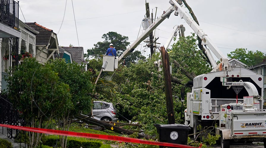
TORNADO WREAKS HAVOC IN NEW ORLEANS, DAMAGING HOMES AND KNOCKING DOWN UTILITY POLES
Severe weather is also set to plague the northern and central Rockies and the central and southern High Plains on Saturday.

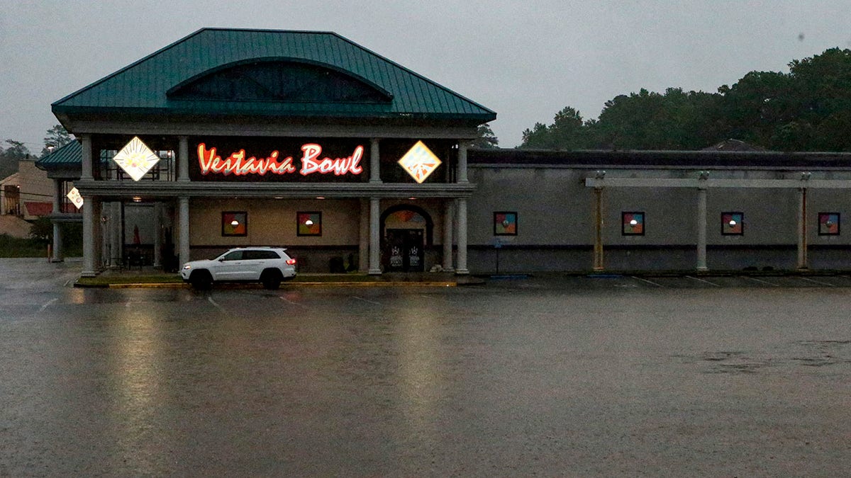
A parking lot is flooded as severe weather produces torrential rainfall, Tuesday, May 4, 2021 in Vestavia, Ala. (AP Photo/Butch Dill)
The NWS Weather Prediction Center said threats from the thunderstorms include lightning, damaging wind gusts, hail and "a few tornadoes."
Central and southern states have been pummeled by rounds of severe storms in recent weeks, with baseball-sized hail breaking windows in Texas and floodwaters forcing evacuations in Alabama.
New Orleans experienced record flash flooding and a tornado over the last week.
According to Accuweather, there were reports of strong wind and hail across Texas, New Mexico, Colorado and Kansas.
The Midwest, Great Lakes, Northeast and Mid-Atlantic are all also forecast to see rain, with upper-level energy producing rain over the Upper Midwest and developing over the Great Lakes and Northeast on Saturday, and light rain expanding over parts of the Mid-Atlantic on Sunday.

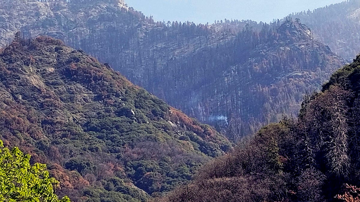
This photo provided by the National Park Service shows what appears to be a smoldering tree in Sequoia National Park, Calif., on April 22, 2021. A giant sequoia has been found smoldering and smoking in an area of Sequoia National Park burned by one of the huge wildfires that scorched California last year. The National Park Service said Wednesday, May 5, 2021, that the cause of the tree fire appears to be the 2020 Castle Fire, which burned more than 270 square miles in the Sierra Nevada. (Tony Caprio/National Park Service via AP)
California will see scattered rain as an upper-level low develops over the Golden State on Saturday and into Sunday, before moving into the Southwest and Great Basin.
CLICK HERE FOR THE FOX NEWS APP
However, arid conditions and gusty winds are slated to continue in parts of the Great Basin and Southwest through Sunday, creating a "critical" wildfire risk, officials said.


