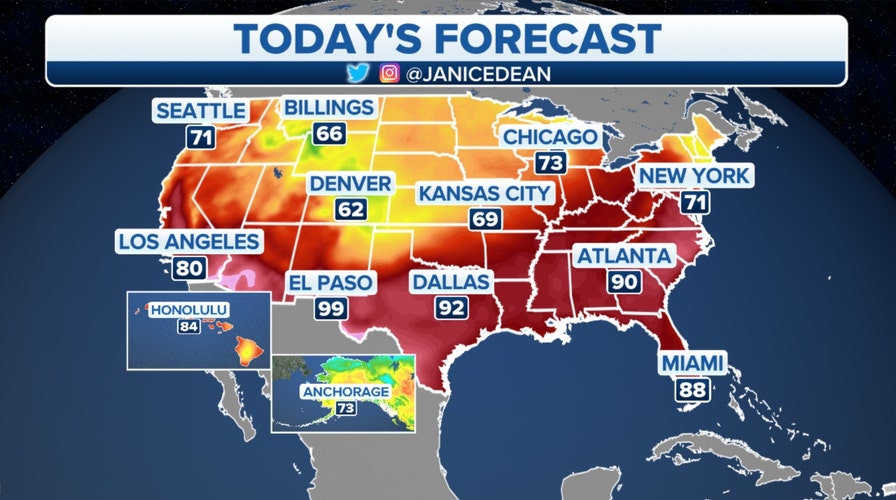
Fox News Flash top headlines for June 1
Fox News Flash top headlines are here. Check out what's clicking on Foxnews.com.
A slow-moving front will continue to be the focus of strong-to-severe storms over the next few days, as it lingers from Texas up into the Great Lakes.
Heavy rain could cause flash flooding in some isolated spots.
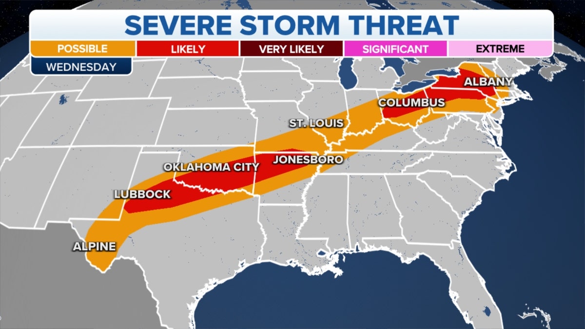
U.S. severe weather threat (Credit: Fox News)
On Thursday, stronger storms will target the mid-Atlantic states, including some big cities along the I-95 corridor.
Temperatures are dropping considerably from Tuesday for the Northeast.
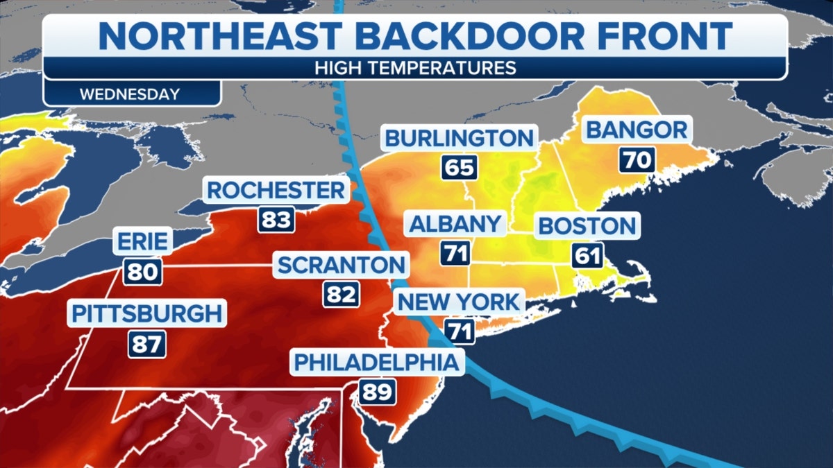
Northeast temperatures dropping (Credit: Fox News)
PARASAILING ACCIDENT IN FLORIDA KEYS LEAVES 1 DEAD, 2 INJURED
A backdoor cold front continues to usher in cooler air, especially across New England.
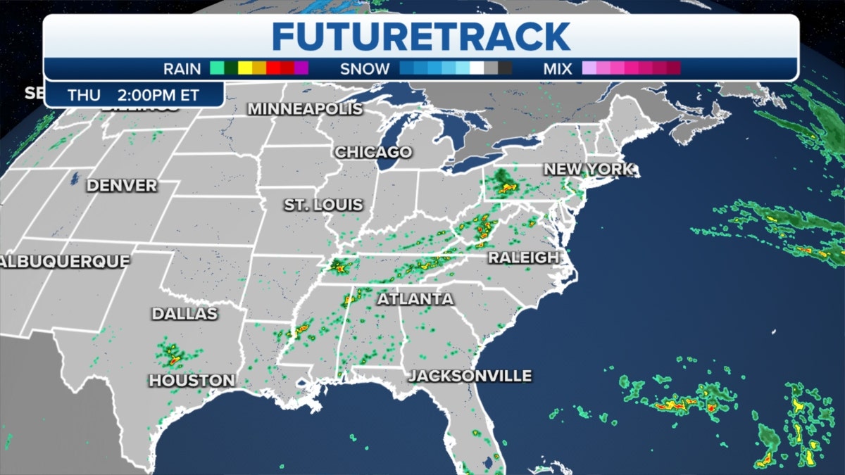
Thursday's U.S. futuretrack (Credit: Fox News)
A cool-off will also be welcome news for the Plains and Midwest later this week.
We are watching an area of low pressure that could develop over the next few days in the Gulf of Mexico.
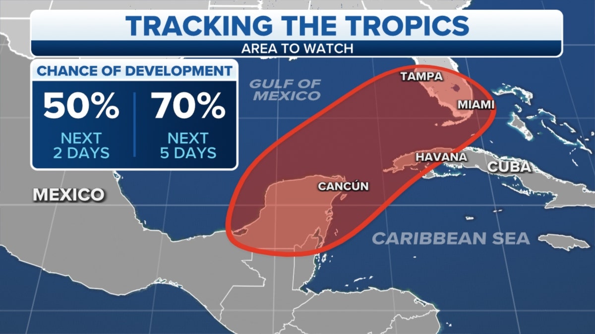
Potential development in the Tropics (Credit: Fox News)
CLICK HERE TO GET THE FOX NEWS APP
Wednesday marks the first official day of the Atlantic hurricane season and southern Florida should be on alert, with the possibility of heavy rain this weekend and next week.


