


Fox News Flash top headlines for November 6
Fox News Flash top headlines are here. Check out what's clicking on Foxnews.com.
The country is coming to the end of a quiet weather pattern this week across the U.S.
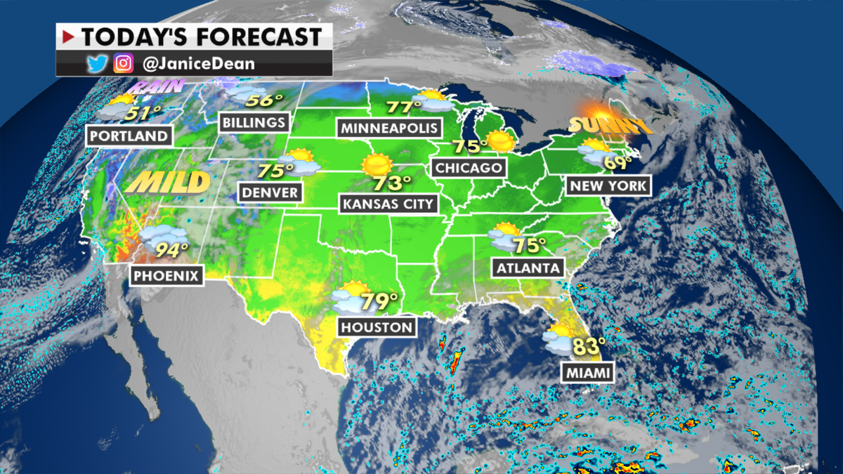
Parts of the Southwest, the Great Plains and the Upper Midwest are enjoying record warmth, with temperatures in some spots 40 degrees above average.
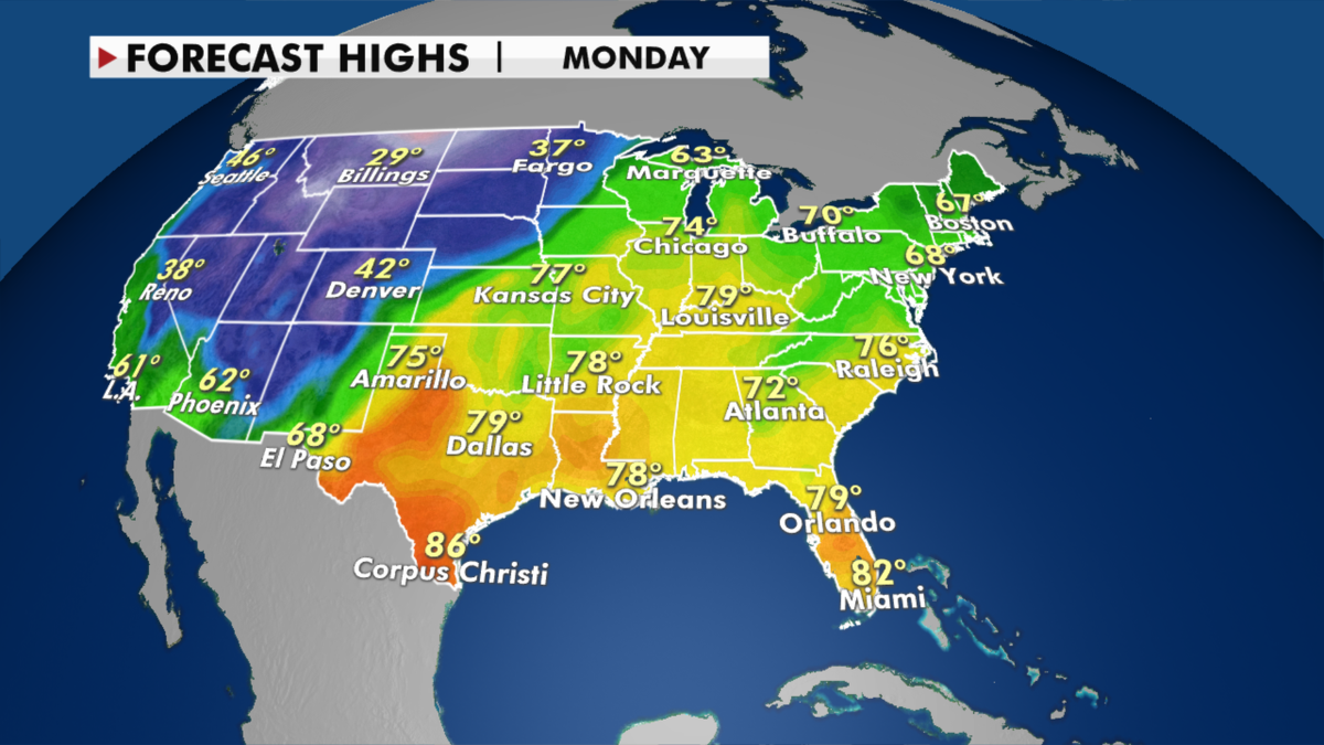
The West is about to see some big changes as a strong system from the Pacific will bring rain and mountain snow to the Northwest, and then expand into much of the western half of the country.
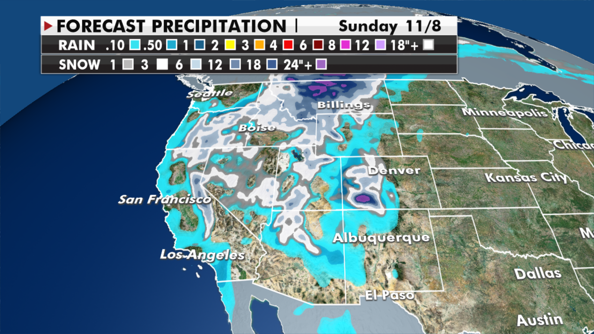
Critical fire danger takes over much of the Great Basin as dry conditions and gusty winds threaten the region ahead of the major weather pattern change next week.
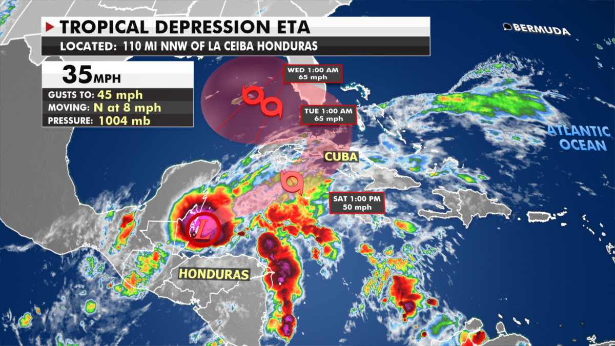
Meanwhile, Florida, the Southeast and the Gulf Coast will have to monitor tropical depression Eta that is forecast to move over Cuba and then possibly threaten the U.S. next week.
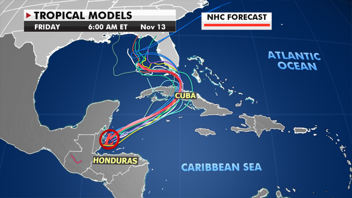
Eta hit parts of South America as a Category 4 hurricane, but lost strength as it hit the Gulf of Mexico. Those warmer waters may help the system strengthen again into a tropical storm before hitting the U.S.
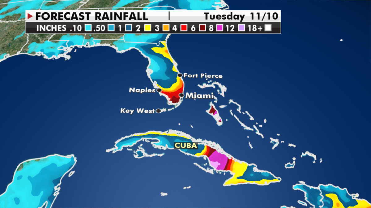
Regardless of development, South Florida can expect several inches of rain and thunderstorms starting Saturday.

True Crime
The hottest stories ripped from the headlines, from crime to courts, legal and scandal.
By entering your email and clicking the Subscribe button, you agree to the Fox News Privacy Policy and Terms of Use, and agree to receive content and promotional communications from Fox News. You understand that you can opt-out at any time.
