An early-season snowstorm dumped a record-breaking amount of snow across Minnesota on Tuesday, knocking out power to thousands and leading to hundreds of accidents.
The National Weather Service (NWS) forecast office for the Twin Cities said that 7.9 inches of snow fell at Minneapolis/St. Paul International Airport, which broke a previous daily record of three inches set back on Oct. 20, 1916.
"We had record-breaking snow, snow totals here across the Northern Rockies, the Northern Plains, the Upper Midwest, Minnesota receiving over 8 inches of snow and another batch of snow is on the way," Fox News senior meteorologist Janice Dean said on "Fox & Friends."
WINTER WEATHER BRINGS 'MULTIPLE' ROUNDS OF SNOW TO UPPER MIDWEST, IOWA HIT WITH SNOW SQUALLS
The storm was also the second-largest October snowstorm on record.
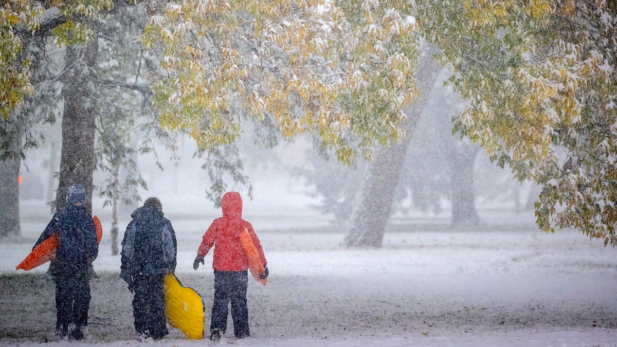
Atticus Saunders, 13, left, Keller Lindstrom, 10, and Fritz Saunders, 11, make their way through the snow after sledding near Lake Nokomis, Tuesday, Oct. 20, 2020, in Minneapolis. (Elizabeth Flores/Star Tribune via AP)
Across the Twin Cities, there was a swath of 4 to 6 inches of snowfall, which made roadways slick.
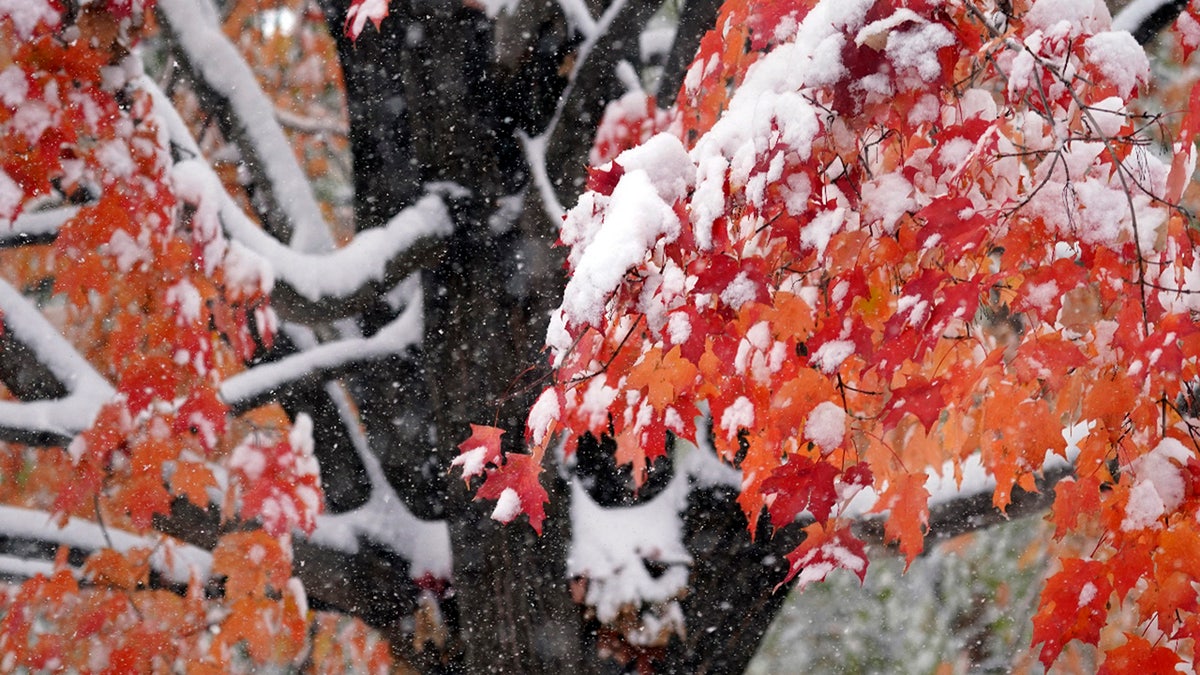
The first measurable snow of the season graces colorful leaves on a tree at peak color, Tuesday, Oct. 20, 2020, in Minneapolis. (AP Photo/Jim Mone)
The Minnesota State Patrol said that troopers responded to a number of crashes, spinouts, and vehicles off the road in central Minnesota, especially along Interstate 94.

Hundreds of crashes and spinouts were reported on Tuesday due to an early-season snowstorm in Minnesota. (Minnesota State Patrol)
State Patrol said that troopers responded to 493 crashes statewide from 11 a.m. to 8:30 p.m. Some 48 of those crashes involved injuries, including one serious injury. No fatalities were reported.
In addition to the crashes, troopers also responded to 614 vehicle spinouts and 22 semi-trucks that jackknifed on area roadways.
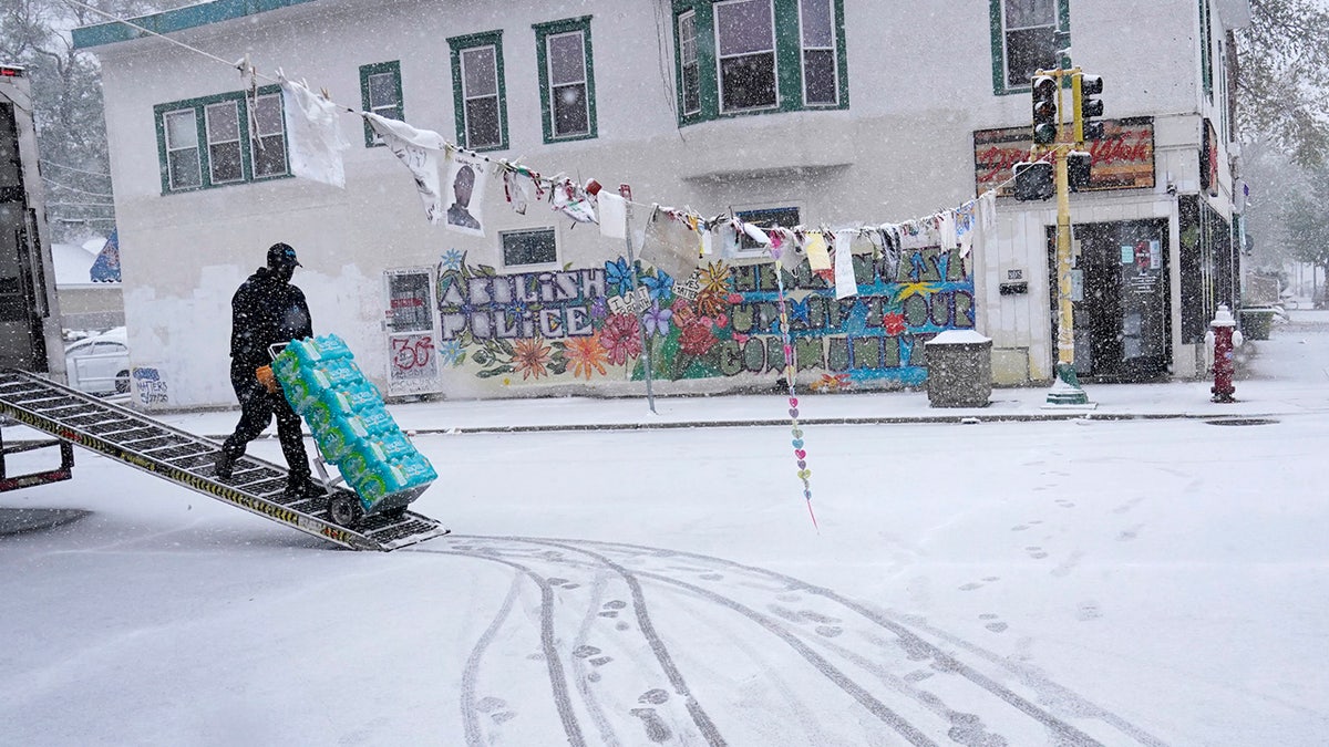
Snow fell on George Floyd Square at the intersection of E. 38th St. and Chicago Ave. S. Tuesday, Oct. 20, 2020, in Minneapolis. (David Joles/Star Tribune via AP)
Minnesota Gov. Tim Walz took to Twitter to urge motorists to drive safe and "take care of yourselves and neighbors."
"Minnesotans are ready for winter," he said. "When it snows we usually just build snowmen."
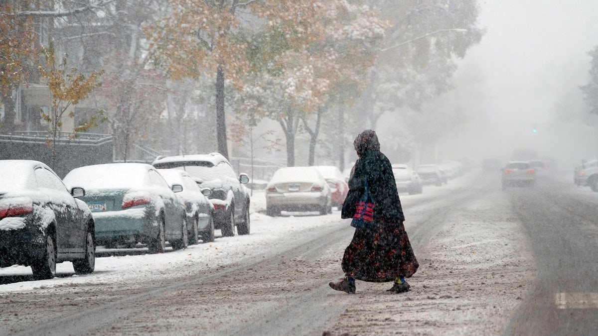
A pedestrian crosses a Minneapolis street as the first measurable snow of the season spread over much of Minnesota Tuesday, Oct. 20, 2020. (AP Photo/Jim Mone)
The early season snowstorm caused closures across the area. In Minneapolis, the city's absentee ballot drop off locations closed early at 3 p.m. so election workers and voters could get home safe, FOX9 reported.
SNOW, COLD WEATHER TO BLANKET UPPER MIDWEST, CREATING DANGEROUS TRAVEL CONDITIONS
The storm also caused power outages throughout the region.

Members of the Osseo High School team practiced outside in the heavy snow in preparation for their Friday night game against Totino-Grace, Tuesday, Oct. 20, 2020, in Maple Grove, Minn. (Jerry Holt/Star Tribune via AP)
Xcel Energy told FOX9 about 8,000 customers in the Twin Cities metro area were without power late Tuesday. At the peak, about 33,500 customers were impacted by the outage.
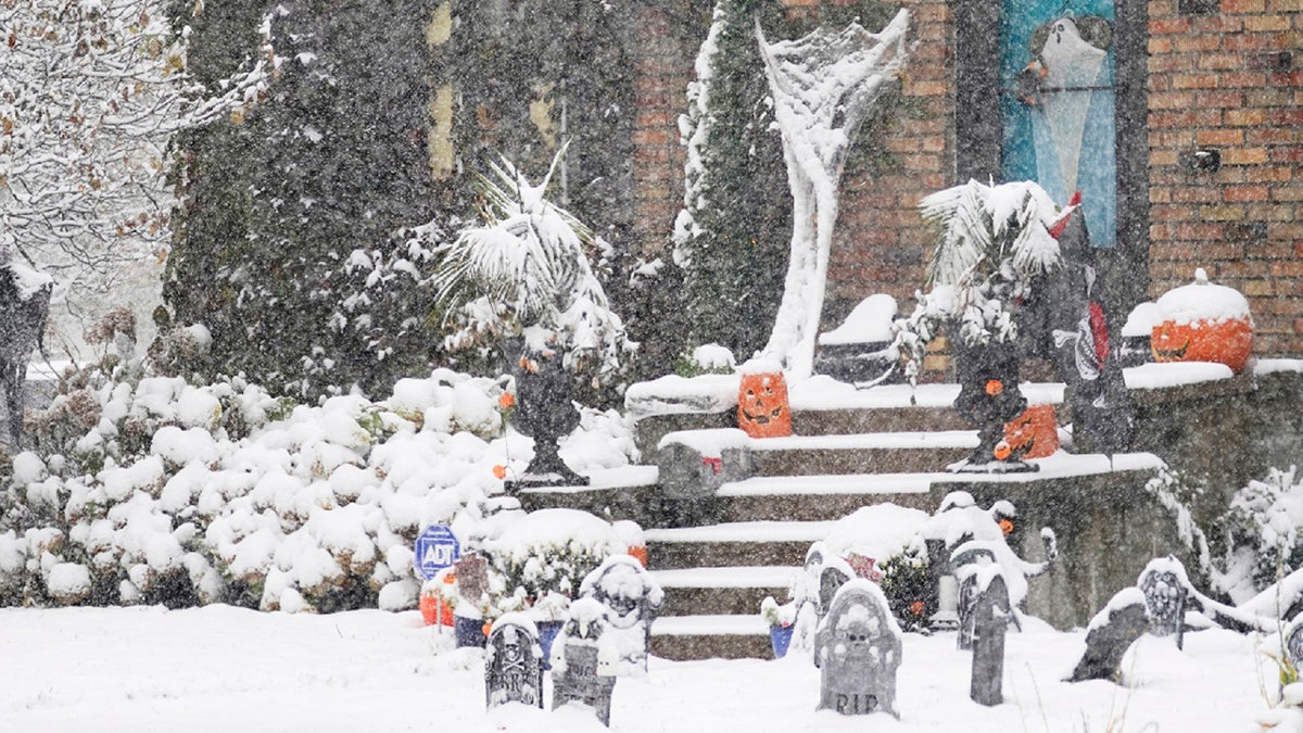
A Halloween display in Minneapolis receives the first measurable snow of the season as a storm arrived over much of Minnesota Tuesday, Oct. 20, 2020. (AP Photo/Jim Mone)
More snow to come
Record-breaking snowfall will continue over the Rockies into the Northern Plains and through the Upper Midwest from Wednesday into Thursday.
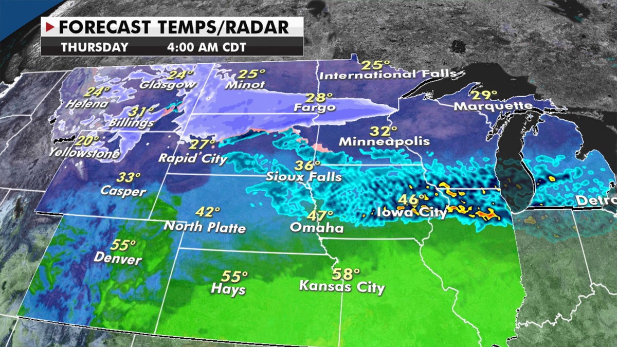
Another round of snow is forecast for Wednesday across the Upper Midwest. (Fox News)
Some areas could receive over 8 inches of new snow where winter storm watches have been posted.
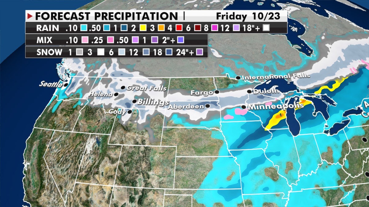
Forecast snow accumulations through Friday. (Fox News)
Expect difficult travel with poor visibility in these regions as gusty winds over 35 mph and a widespread area of 6 to 12 inches of new snow will fall.
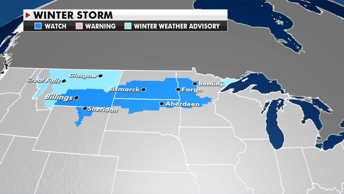
Winter storm watches have been posted across the Upper Midwest in advance of the next round of snow. (Fox News)
"This snow could actually go into the foot or more range," Dean said Wednesday.
CLICK HERE FOR MORE WEATHER COVERAGE FROM FOX NEWS
The cold air setting the stage for all this snow will plunge as far south as Texas on Friday.
Showers and thunderstorms will bring heavy rain at times over the Great Lakes and Mid-Mississippi Valley.
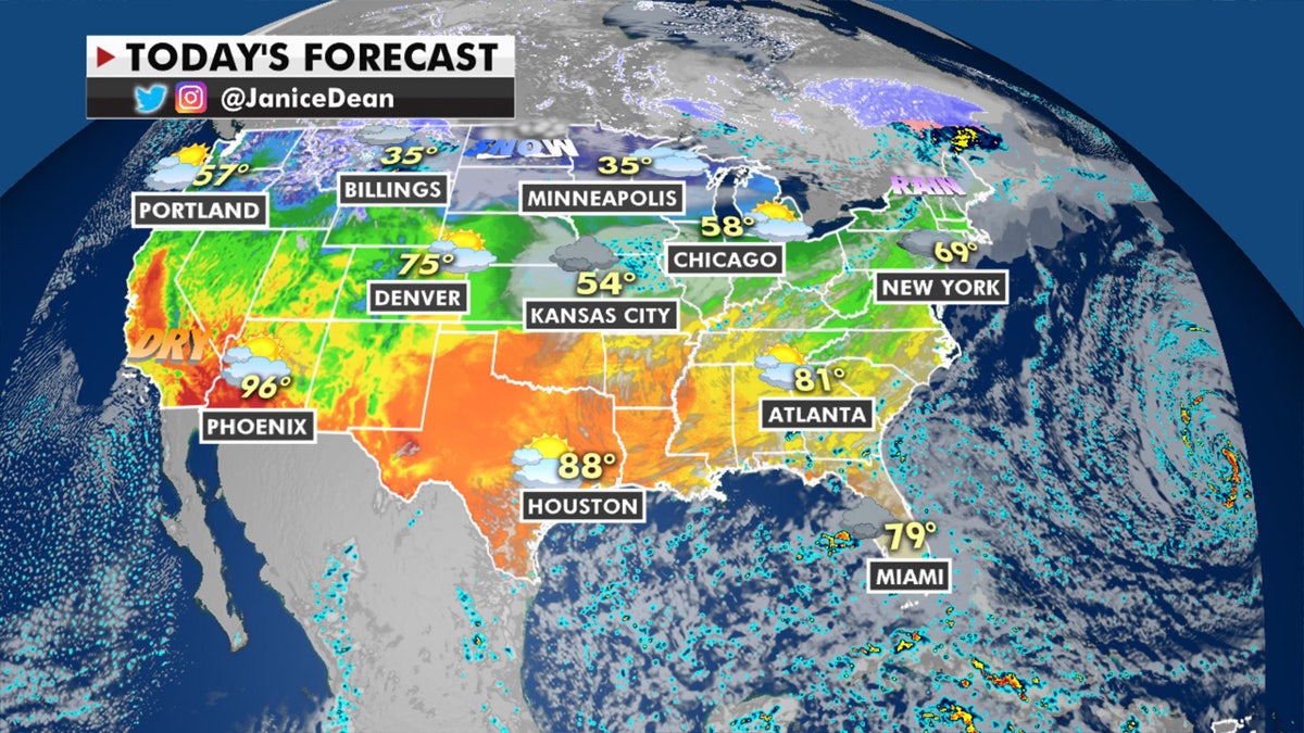
The national forecast for Oct. 21, 2020. (Fox News)
Widespread showers and thunderstorms are also moving into South Florida with heavy rain and the risk of flash flooding.
