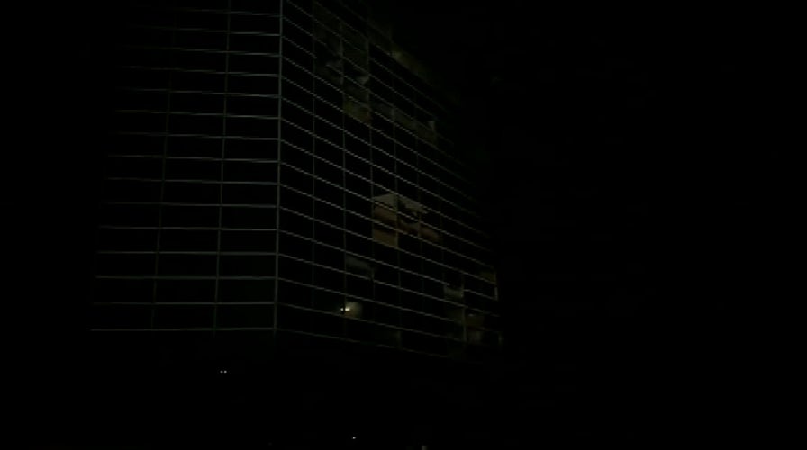
Raw video: Hurricane Laura rips windows out of the Capitol One Tower in Lake Charles, Louisiana
The storm made landfall as a Category 4 hurricane, and moved inland leaving a path of destruction it its wake.
Video shows Hurricane Laura’s overwhelming winds ripping the windows off of the Capital One Tower – an all-glass office building that dominates the skyline in Lake Charles, La., where the storm caused massive damage.
It shows windows flying off the face of the building as the whipping wind howls in the darkness.
Photographs taken after sunrise showed gaping holes and broken glass where the windows should have been. Hurricane Rita also damaged the building in 2005 and it went through years of renovations that included "ballistic protection" for the external glass panels, according to the architecture firm that handled the repairs.
LAURA DROPS RAINFALL, FLOODING ON ARKANSAS AFTER WINDS LEFT DESTRUCTION IN LOUISIANA, TEXAS
Lake Charles Mayor Nic Hunter described the citywide storm damage in a Facebook post on Thursday evening.

The windows of the Capital One Tower are blown out after Hurricane Laura made landfall as a Category 4 storm Aug. 27, in Lake Charles, La. (Hilary Scheinuk/The Advocate via AP)
“As I sit to type this post, I don’t even know where to begin,” he wrote. “The last 24 hours have felt like a week out of a bad science fiction novel. One news story I overhead said Laura is the ‘strongest hurricane to hit Louisiana in 150 years.’”
Laura’s Category 4 strength 150 mph winds when it made landfall in Cameron, La., early Thursday were just 7 mph below a Category 5 storm.
HURRICANE LAURA LIVE UPDATES: LOUISIANA, TEXAS COASTS SLAMMED WITH DAMAGING WINDS, FLOODING
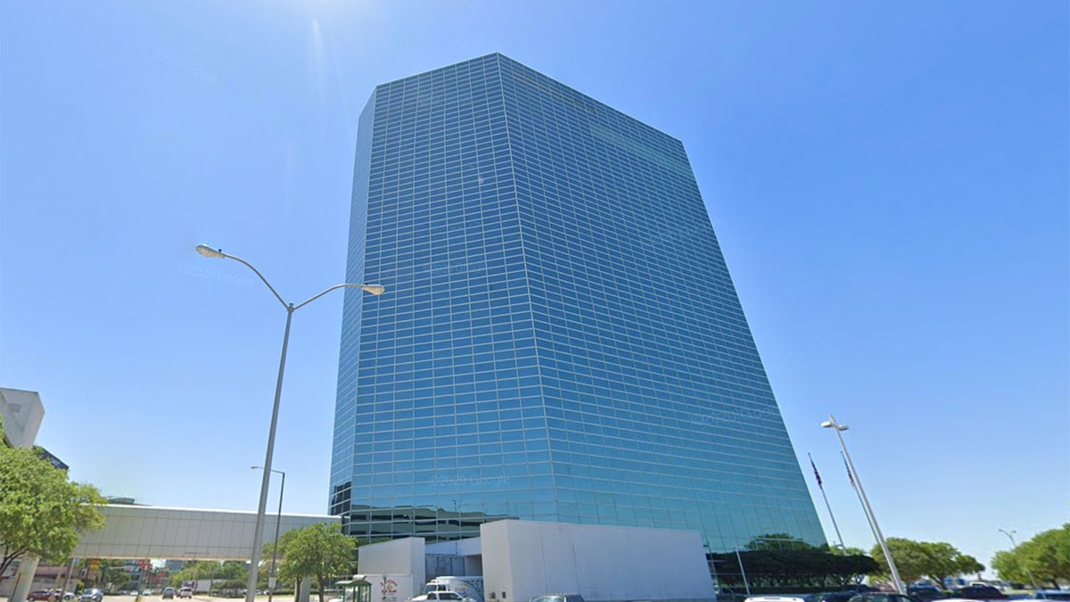
What the structure used to look like.
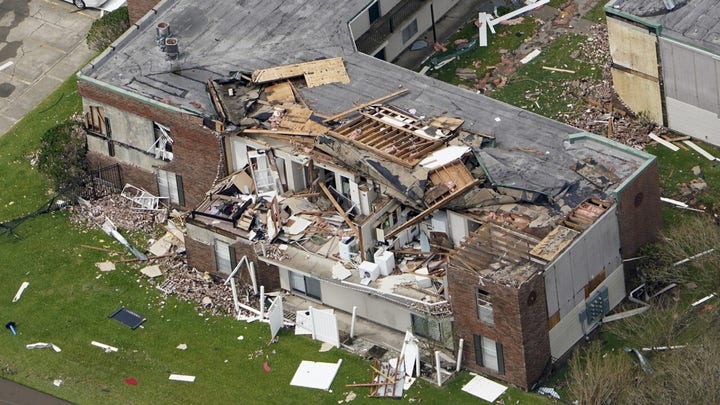
In Lake Charles, the massive damage caused by the storm was evident with buildings torn apart, homes stripped of their rooftops, and a raging chemical fire. Laura also blew over trees, blocked roads and knocked out most of the city’s utilities.
Hunter said he could not estimate a time when power and running water would be restored.
CLICK HERE FOR MORE WEATHER COVERAGE FROM FOX NEWS
“So basically, if you come back to Lake Charles to stay, make sure you understand the above reality and are prepared to live in it for many days, probably weeks,” he wrote. “’Look and Leave’ truly is the best option for many.”
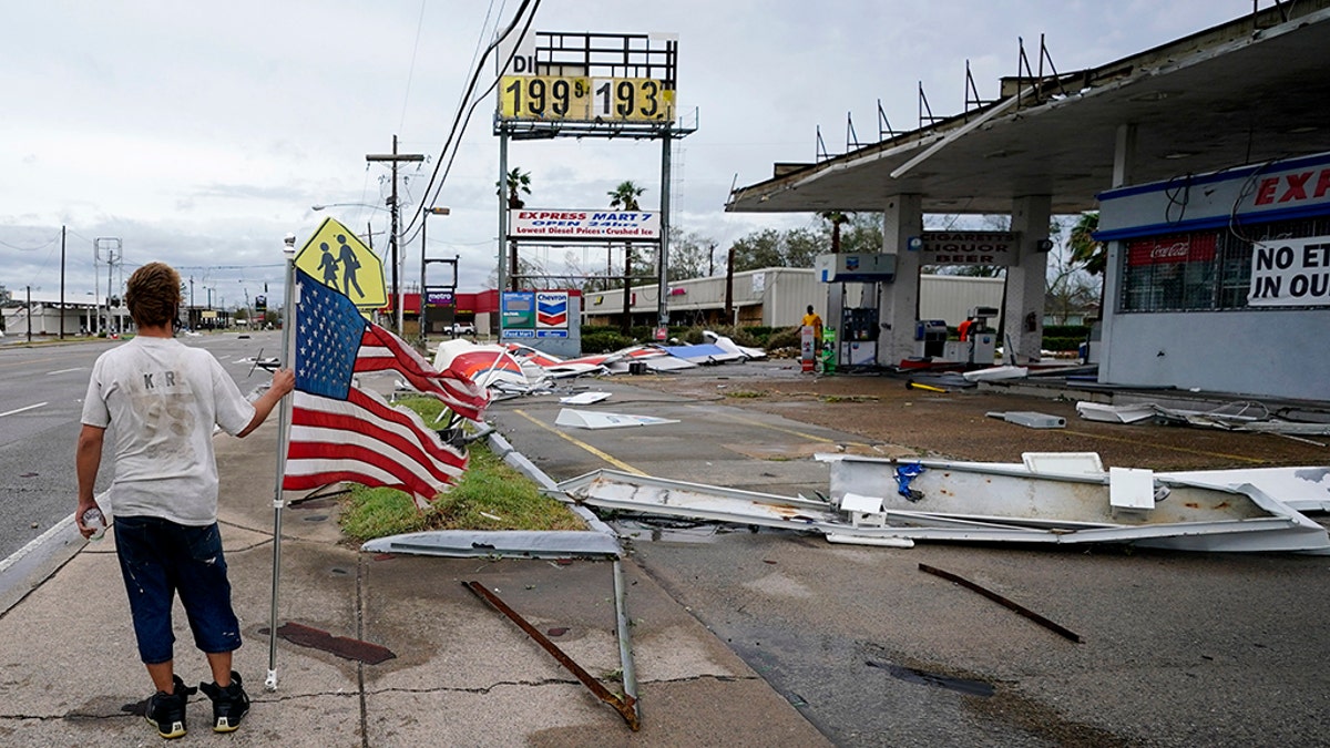
Dustin Amos walks near debris at a gas station on Aug. 27, in Lake Charles, La., after Hurricane Laura moved through the state. (AP Photo/Gerald Herbert)
The storm, though weakened to tropical depression status after traveling so far inland, was still active Thursday night above Arkansas with maximum sustained winds of 35 mph as of 11 p.m. ET.
At that time, the storm was about 30 miles past Little Rock, moving north-northeast at about 15 mph, according to the National Weather Service. The threat of flooding was still present with heavy rainfall expected to continue in parts of Arkansas, Mississippi and Louisiana.
The storm is expected to continue through Arkansas overnight and into the mid-Mississippi Valley on Friday, forecasts show. It will hit the mid-Atlantic states on Saturday and continue over the western Atlantic on Sunday.
CLICK HERE FOR THE FOX NEWS APP
Tornadoes were possible from central and eastern Arkansas into Mississippi through Thursday evening, according to the weather service.


