Authorities in Mississippi urged residents to evacuate in the northern part of the state Tuesday after heavy rains spawned a flash-flood emergency and put a dam at "imminent" risk of failing.
The National Weather Service issued a flash flood emergency in the Jackson metro area and urged residents to seek higher ground after heavy rains created a "life-threatening situation."
"Local officials have reported multiple swift water rescues ongoing or needed in the Downtown Jackson area," the NWS tweeted. "More rain is expected!"
TORNADO IN SOUTH CAROLINA WITH 130 MPH WINDS DESTROYS HIGH SCHOOL IN LESS THAN A MINUTE
A flash flood emergency also was issued in Oktibbeha County, located in the east-central portion of the state.
"Oktibbeha County Lake Dam is in imminent danger of failing," the NWS office tweeted. "Those in this area should evacuate and seek higher ground!"
The Mississippi Emergency Management Agency said that Oktibbeha County is encouraging residents who live near the Oktibbeha County Lake Dam to evacuate.
"After inspection, the County Engineer believe failure of the dam is imminent," the agency said.
Oktibbeha County EMA Director Karen Campanella told WTVA-TV the evacuation is not mandatory at this time, but residents in the area near the dam should move a safe distance away.
WINTER STORM IN PACIFIC NORTHWEST LEADS TO 30-CAR CHAIN-REACTION CRASHES ON SEATTLE-AREA BRIDGE
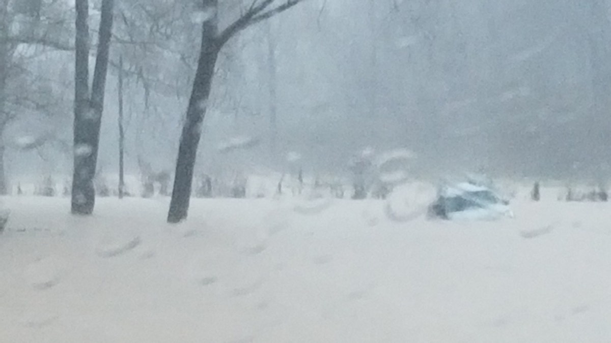
Earlier in the day, the Warren County Fire Service and Warren County Sheriff's Department in Mississippi rescued a driver who was trapped in a car in the water. A photo of the rescue showed water completedly surrounding the vehicle.

The Warren County Fire Service and Warren County Sheriff's Department in Mississippi conducted a water rescue of a driver trapped in a vehicle amid flash floods. (MSEMA)
The Mississippi Department of Transportation also warned drivers to be careful after flash flooding was reported on Interstate 20. Video posted by the agency showed high-water in the median and in some travel lanes.
"Never drive through a flooded roadway," the DOT said. "Turn around, don’t drown!"
Forecasters warned that flash flooding was expected on Tuesday in parts of northeast Louisiana, southeast Arkansas, and northern portions of central Mississippi as a front in the area produced numerous clusters of showers and thunderstorms capable of producing heavy rainfall. Around 1 to 4 inches of rain were expected Tuesday, with higher amounts possible.
"With the ground already saturated across the area, flash flooding is likely," the NWS Jackson office said. "Rainfall will decrease in intensity by this evening."
CLICK HERE FOR THE FOX NEWS APP
The flash flood emergency in the Jackson area was issued Tuesday afternoon and covered an area with a population of more than 380,000.
Images showed roadways and parking lots flooding after heavy rains overwhelmed storm drains.
In the city of Pearl, officials stressed that motorists should not drive around barricades blocking flooded roads. City officials shared a video on Twitter of one rescue from the floodwaters.
"This is why you DO NOT drive around barricades! This woman was very fortunate to escape injury," city officials said.


