


Cooler, drier air has settled into the Northeast after a cold front and storms moved through the region on Tuesday.
THE FIRST FREEZE OF THE SEASON: HOW TO PREPARE
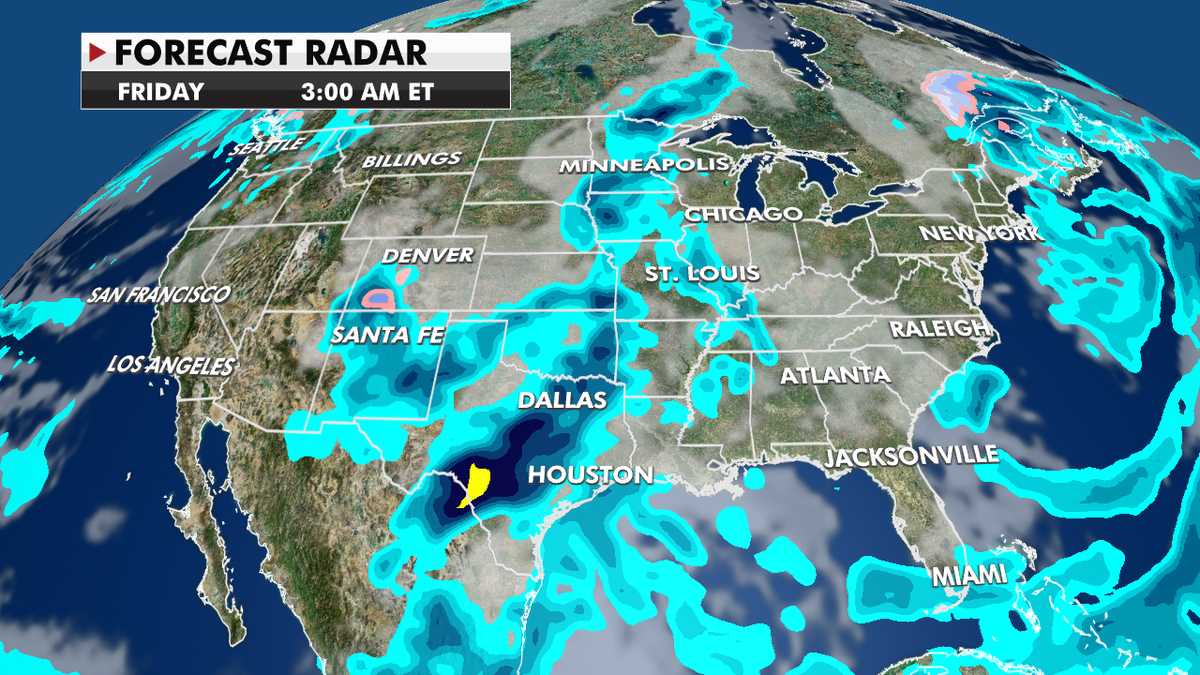
Forecast Radar Friday (Credit: Fox News)
Temperatures will also start to cool off following above-average heat that has been hanging on to the Central Plains.
In addition, a front marching in from the West will bring the risk of storms and heavy rain over the next few days.
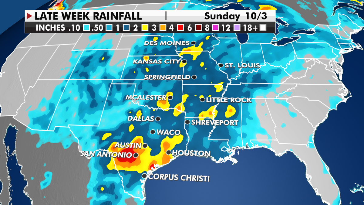
Late Week Rainfall (Credit: Fox News)
Much colder air has moved into the Northwest, along with a cold front with nighttime lows below freezing and bringing snow to the mountains.
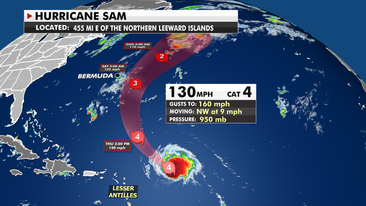
Hurricane Sam Wednesday (Credit: Fox News)
CLICK HERE TO GET THE FOX NEWS APP
Hurricane Sam is a small, powerful hurricane that will stay away from the U.S, but Bermuda will still need to watch the track of the storm for any changes.

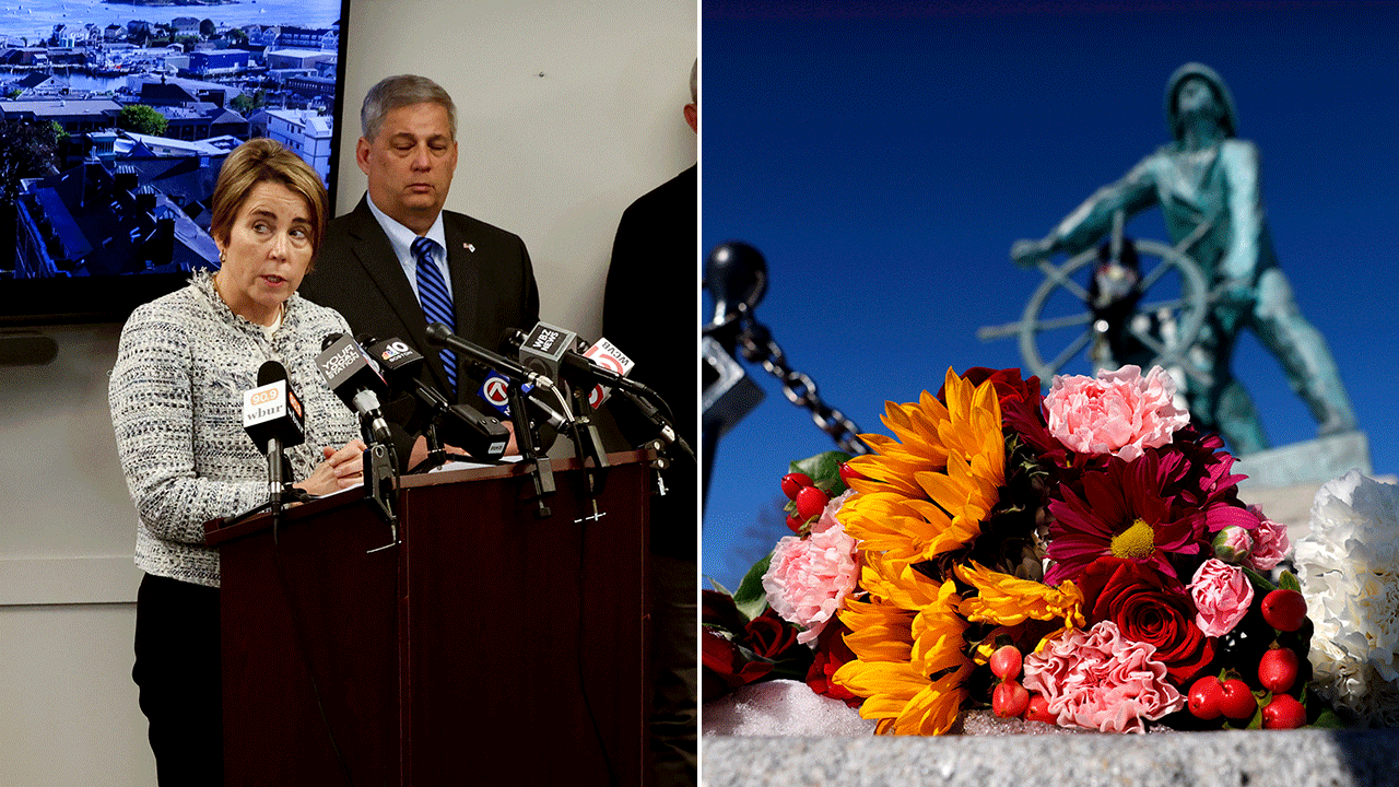
True Crime
The hottest stories ripped from the headlines, from crime to courts, legal and scandal.
By entering your email and clicking the Subscribe button, you agree to the Fox News Privacy Policy and Terms of Use, and agree to receive content and promotional communications from Fox News. You understand that you can opt-out at any time.
