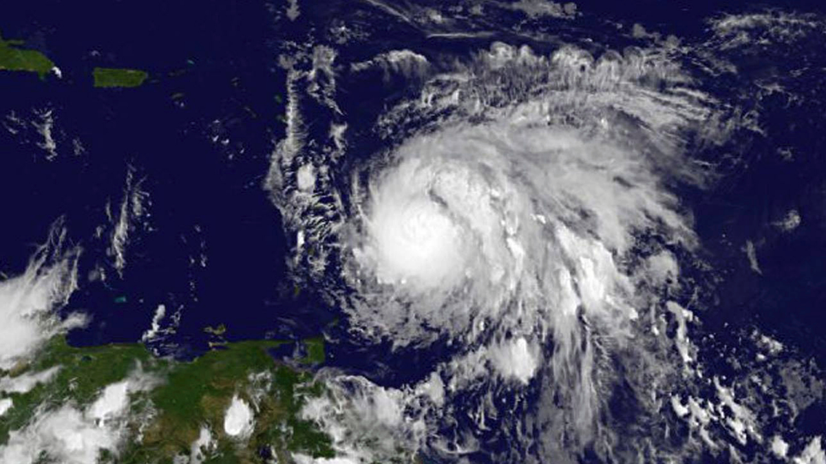
WASHINGTON – This hurricane season is showing how wild and varied storms' life cycles can be.
Most storms seem to be tracked for days while others appear to pop out of nowhere. And some just linger around.
Hurricane Jose is pushing the two-week mark as it meanders off the U.S. East Coast. Lee, named a tropical storm last Saturday, is barely hanging on as a tropical depression.
Harvey formed, died and then came back to life as a major hurricane, dumping a record amount of rainfall on south Texas last month. Hurricane Katia seemed to just pop up in the Gulf of Mexico days before hitting the Mexico coast.
Forecasters for days watched Harvey, Irma, Jose, Lee and now Maria make steady marches west off Africa before they got named. About four out of five major hurricanes — those with winds of at least 111 mph — start out similarly: They form off the African coast as unstable waves or patches of storminess. The National Hurricane Center monitors them, giving them yellow, orange or red letter Xs on forecast outlook maps.
Not all of these waves survive the trip west. They need favorable winds, warm water and moist air to get stronger. Some get strong immediately; others intensify over the Caribbean or the Gulf of Mexico. Some even don't get their acts together until they cross over the Pacific, said Colorado State University hurricane researcher Phil Klotzbach.
The rest of the storms usually form in the warm and unstable waters of the Gulf of Mexico, popping up from mid-latitude normal storm fronts, often early or late in hurricane season, Klotzbach said.
During the peak of hurricane season — mid-August to mid-October — it's Africa that acts as the chief Atlantic storm generator.
Even those less common ones that form in the Gulf of Mexico aren't total surprises with meteorologists monitoring storm clouds clustering together a couple days before they become named storms.
Once a named storm forms, "it's hard to get rid of it" and it'll keep going until it's stopped, Klotzbach said.
Four things generally kill a hurricane: High-level winds, dry air, cold water and land. And it's pretty much just chance if they run into any of those four storm-killers, said MIT meteorology professor Kerry Emanuel.
High-level winds — called shear — are a major issue. These winds at about 10,000 feet high can decapitate a hurricane. Maria, the latest storm, has almost no shear and so it can get more powerful, but a wall of shear hit and is killing Lee, Klotzbach said.
Warm water is a hurricane's fuel — the temperature needs to be 79 degrees (26 degrees Celsius) or warmer. When the water cools, the storm runs out of gas. Sometimes the storm runs into cold water and other times it makes the cold water itself by not moving much and churning it up from the depths.
When storms go over land, they lose fuel and eventually disappear. That happened to Harvey and Irma.
On average, Atlantic named storms last about six days. But there are exceptions. One almost lasted 28 days in 1899. Hurricane Ginger made it to 27 days in 1971. Five years ago, Hurricane Nadine lasted for 22 days.
Starting off from Africa, Nadine made three loops in the unpopulated central Atlantic, forming a track that looks like a long-tailed bird. It became a hurricane twice, a record 13 days apart.
___
Follow Seth Borenstein on Twitter at @borenbears . His work can be found here .


