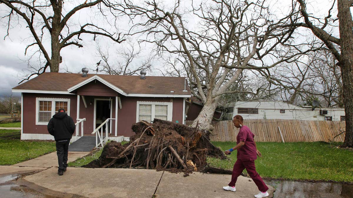
Cheryl Bradshaw, right, and her son Jerard walk past a toppled tree that separated her bathroom from her home Tuesday, Feb. 14, 2017 in Wharton, Texas. (Steve Gonzales/Houston Chronicle via AP)
More than 50 million people are being warned to watch for high winds or even tornadoes as a storm system that pummeled California this week moves into the Midwest. After the system clears, snow and cold could replace the spring-like conditions much of the region has enjoyed for the better part of a week.
The severe storms will ramp up Friday from Detroit to Nashville, Tennessee. Meteorologist Patrick Marsh of the Storm Prediction Center in Norman, Oklahoma, said Thursday that the weather pattern is more typical of April or May.
"The calendar says it's not really spring, but if you look at the air temperatures, it looks like spring. That's what the atmosphere is operating on," said Marsh, the center's warning coordination meteorologist.
Moist air from the Gulf of Mexico will send temperatures toward 70 degrees in northern Indiana and southern Michigan on Friday, which is about 30 degrees above normal. "This is pretty much you would expect a couple months from now," Marsh said.
People typically think of tornadoes in the spring, though in the Southeast they can come any time of year. So far in 2017, there have been swarms of twisters in Louisiana and Georgia.
"In Oklahoma, every April, May and June I really need to be paying attention. But in Birmingham, Alabama, I've got a threat year-round," he said. In the Ohio Valley and Great Lakes region, the weather Friday will hit an area that would normally be worrying about snow.
"It's not out of the question that there could be snow this weekend in the same area," Marsh said.
The storm arriving Friday is part of the same system that brought heavy rains to California this week and snow to Wyoming on Thursday.
Blizzard warnings were posted for the northern Plains beginning overnight Thursday. Northern Indiana and Michigan have snow in the forecast for Saturday, while there's a fire danger in the southern Plains "all from the same system," Marsh said.


