Nor'easter vs. Alberta Clipper: Here's the difference
In winter you’ll often hear meteorologists refer to two types of snowmakers, a Nor’easter and an Alberta Clipper. But just because these winter storms make snow, doesn’t make them the same.
In winter you’ll often hear meteorologists refer to two types of snowmakers from the Midwest to the East Coast - Nor’easters and Clippers.
Nor’easters are powerful areas of low pressure that develop just offshore from the U.S. East Coast, typically between September and April.
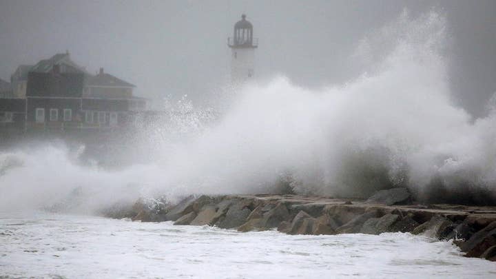
These types of winter storms get their name from the prevailing northeasterly winds, which cause coastal flooding, erosion, and heavy rain or snow for prolonged periods of time depending on how cold the atmosphere is.
LAKE EFFECT SNOW: HERE'S HOW IT IMPACTS THE GREAT LAKES
Those northeasterly winds often exceed 80 mph, especially across coastal New England and the Canadian Maritimes where the low pressure deepens and intensifies the most.
Depending on the amount of cold air available and how closely they track to the East Coast, Nor’easters can produce impressive amounts of snow and are responsible for the biggest snowstorms on record from the Mid-Atlantic to New England.
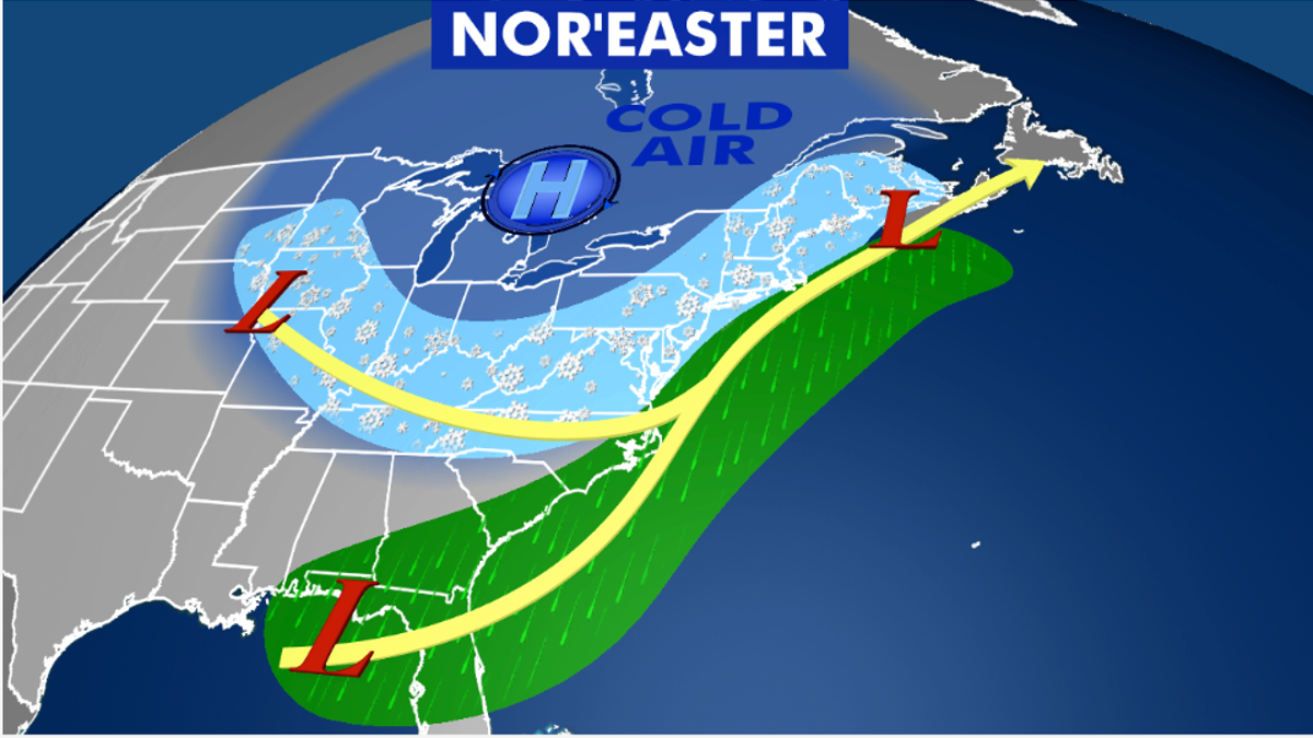
Nor’easters are responsible for the biggest snowstorms on record from the Mid-Atlantic to New England.
Their track near the Gulf Stream and ocean off the East Coast provides ample moisture for intense rain and/or snow. Snowfall of between one to three feet, sometimes greater, is common with intense Nor’easters.
LIGHTNING SAFETY: WHAT YOU NEED TO KNOW
Clipper systems are another snowmaker but are quite different from Nor’easters.
Clipper is short for Alberta Clipper, referring to their Alberta, Canada origin.
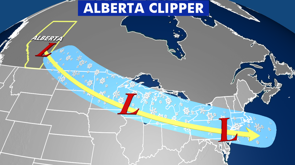
An "Alberta Clipper" originates in Canada and move rapidly over land, which tend to limit snowfall accumulations. (Fox News)
Since Clippers originate over land, they are unable to tap into the deep moisture available to Nor’easters. So Clippers tend to produce less snow.
CLICK HERE FOR MORE WEATHER COVERAGE FROM FOX NEWS
These snowmakers also move rapidly, which tends to somewhat limit snowfall accumulations.
Narrow bands of six inches of snowfall, or greater, can accumulate from the Northern Plains, through the Midwest, Great Lakes, to the East Coast.
