NOAA deploys new hurricane technology
NOAA is tracking Hurricane Fiona by drone, as the storm moves through the Caribbean. In partnership with NOAA, Saildrone Inc. is deploying seven ocean drones to collect data from hurricanes during the 2022 hurricane season.
Lakeland, FL – The National Oceanic and Atmosphere Administration (NOAA) is tracking Hurricane Fiona by plane and drones. Through NOAA's new research program, sail drones are taking us closer than ever before to one of Earth's most destructive forces.
In partnership with NOAA, Saildrone Inc. is deploying seven ocean drones to collect data from hurricanes during the 2022 hurricane season with the goal of improving hurricane forecasting.
"We're really excited about this new technology. It's going to allow us to fly the drones for up to two to three hours at a time collecting all the data that we previously either could get in very small pieces, or just couldn't get at all because it was in a different part of the storm where we would want not want to go," said Adam Abitbol, a lead test pilot for NOAA.
The saildrones recorded video of 50 foot waves and winds of over 120 MPH inside Hurricane Sam last year during NOAA's first test. Until now, NOAA recorded this data by plane, from elevation 10,000 feet. The new technology is now taking us closer than ever before.
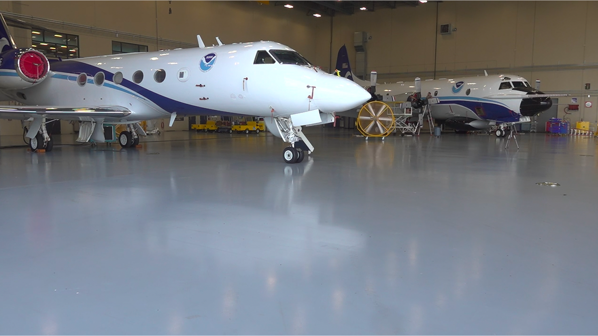
NOAA's two Lockheed WP-3D Orion "Hurricane Hunters" play a key role in collecting data during Hurricane Season. (Fox News)
"Due to obviously the kind of violent dynamic nature of a hurricane, taking a crewed aircraft down to that first 3000 feet can be a little bit hazardous. So we've designed these drones to kind of go do that work for us," Abitbol said.
ABOVE-AVERAGE HURRICANE SEASON FORECAST BY NOAA
The short-term goal is to improve forecasting, giving leaders earlier warning to evacuate coastal cities and islands if necessary. The long-term goal is tackling one of the biggest challenges in hurricanes, predicting what scientists call rapid intensification. Rapid intensification is when wind speeds increase by 35 MPH in under 24 hours, making a hurricane much more dangerous in a very short period of time.
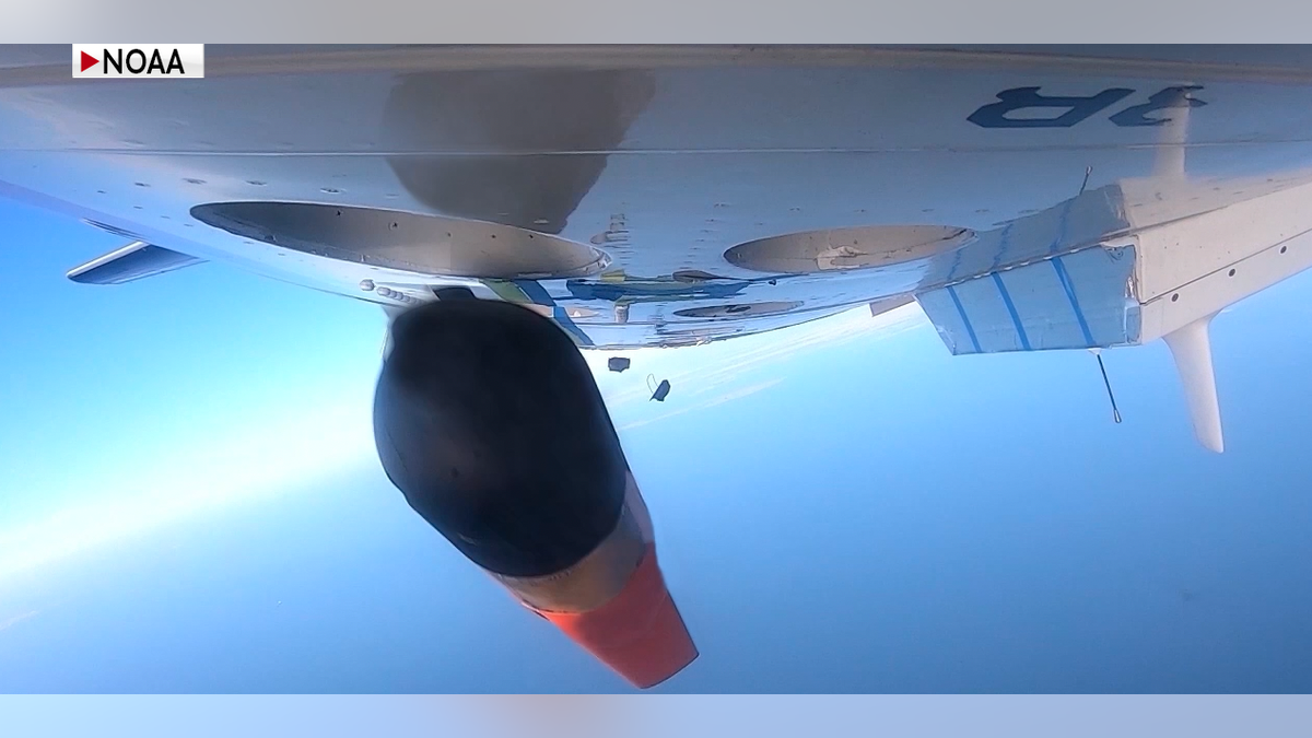
In partnership with NOAA, Saildrone Inc. is deploying seven ocean drones to collect data from hurricanes during the 2022 hurricane season with the goal of improving hurricane forecasting. (NOAA)
"We believe that over time that we're going to be able to represent stronger winds, which helps us and helps the forecasters say 'wow, okay, we thought it was 100 miles an hour, but that drone captured 120. Maybe we weren't going to evacuate, but now we will," said Dr. Joseph Cione, a lead meteorologist with the Hurricane Research Division of NOAA. "It can work the other way too, where the Hurricane Center or the models, were suggesting that the winds are 150 miles an hour, and we go in and we only found about 90 mile an hour winds. So then you could say, 'well, hey, maybe we don't need to evacuate and that saves millions of dollars'. So we think this has value on both ends of that spectrum."
HURRICANES ARE GROWING STRONGER AS CLIMATE WARNS, NEW NOAA STUDY SHOWS
Saildrones are equipped with a special "hurricane wing," which looks like a hard sail, to withstand the extreme wind conditions encountered in storms as they gather data from the near-surface ocean and atmosphere in real-time. Five saildrones operate in the western Atlantic Ocean and Caribbean Sea while another two are based in the Gulf of Mexico.
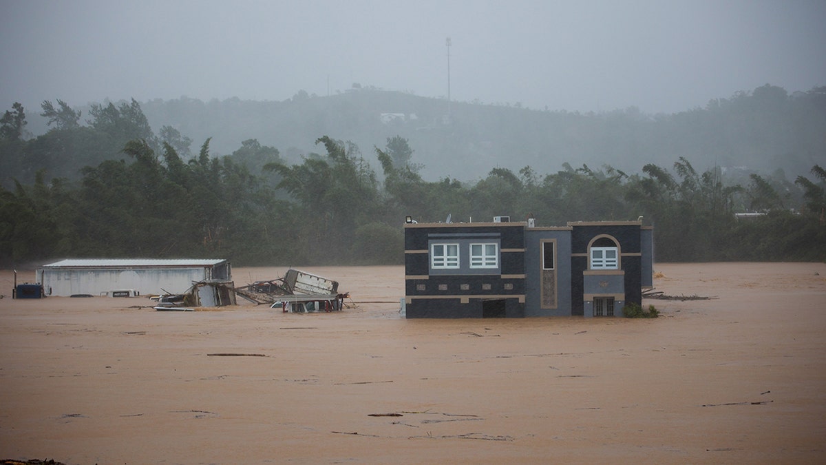
Hurricane Fiona submerges a home in floodwaters in Cayey, Puerto Rico, Sunday, Sept. 18, 2022. According to authorities three people were inside the home and were reported to have been rescued. (AP Photo/Stephanie Rojas)
This is just the beginning for the program, NOAA plans to eventually add video to all drones.
CLICK HERE TO GET THE FOX NEWS APP
"What we're doing particularly I'm thinking the panoramic view of the eye and then maybe entering the eyewall so we can kind of decide how and what we're going to do but yes next year, not this year, but next year we plan to have a few outfitted with video capability and picture capability," said Dr. Cione.


