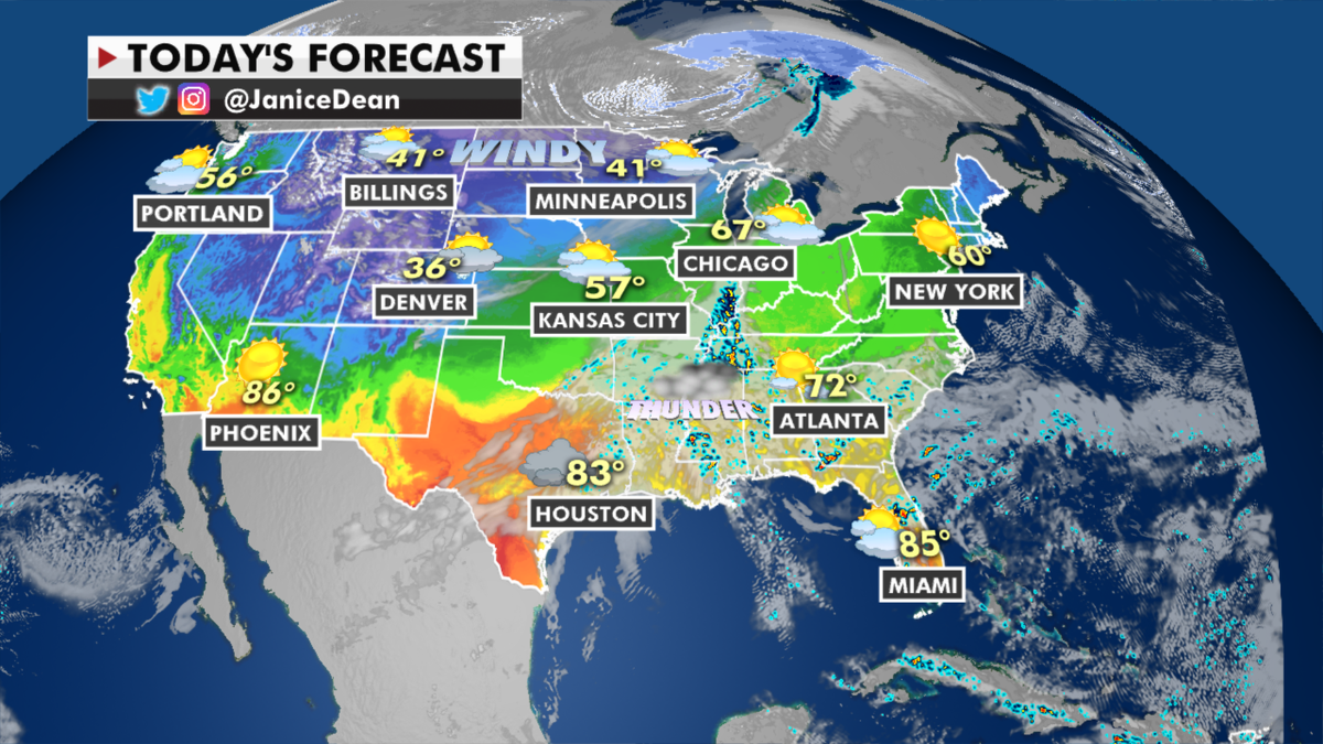
A strong cold front that will move across the Central U.S. and then into the East over the next few days will be the focus of heavy rain, strong thunderstorms and even measurable springtime snow for the Northeast.
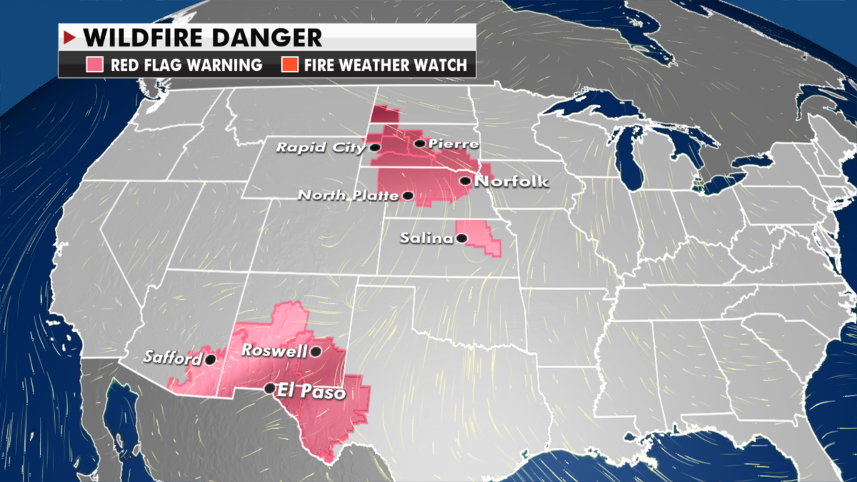
Today, that front will enhance strong winds for the Northern and Central Plains. Temperatures will also drop behind it. Those winds combined with low humidity will bring fire danger to some of these regions.

The national forecast for Tuesday, March 30. (Fox News)
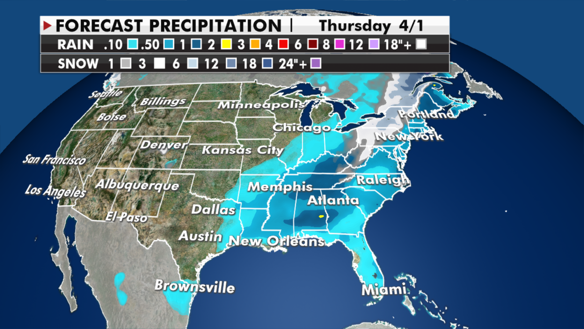
Showers and thunderstorms will begin to spread across the Gulf Coast and then eventually the Mississippi and Tennessee Valley into Wednesday.
TENNESSEE FLOODING DEATH TOLL GROWS TO 7, OFFICIALS SAY

Expected precipitation totals through Thursday. (Fox News)
Flood watches are in effect for Middle Tennessee, which has gotten historic rain this past week.
CLICK HERE TO GET THE FOX NEWS APP

Current wildfire danger around the U.S. (Fox News)
Strong to severe storms will also be possible Wednesday from the Gulf Coast to the Mid-Atlantic.
Much colder air move into the Northeast on Thursday where parts of the interior could get quite a bit of springtime snow.


