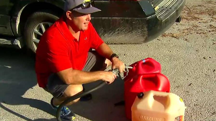
Gasoline, power in short supply in Irma-ravaged Keys
Some residents growing frustrated, ask for supplies, volunteers as hurricane recovery efforts continue; Phil Keating reports from Big Pine Key, Florida
NOAA released aerial imagery that shows the extent of the damage that Hurricane Irma unleashed along the coast of Florida, particularly in the Florida Keys and farther north in Marco Island.
Following its rampage through the Caribbean, Irma made two landfalls in Florida on Sunday, Sept. 10. Irma made its first landfall as a Category 4 hurricane Sunday morning in the lower Florida Keys, at Cudjoe Key.
After wreaking havoc through the Florida Keys, Irma made its second Florida landfall that afternoon on Marco Island, which lies just south of Naples.
This is the first year that two Atlantic Basin hurricanes have made landfall at Category 4 strength in the United States in one season since records began in 1851.
Photos were taken using specialized remote-sensing cameras aboard NOAA aircraft. The images reveal the drastic changes from just days prior to Irma's landfall.
NOAA plans to compare these images with the baseline coastal data sets, so response agencies are able to assess any damages to major ports, coastlines, infrastructure and coastal communities.
"This can help maintain or restore safe navigation and prioritize areas in need. In addition, imagery is used for ongoing research efforts to test and develop new airborne digital imaging standards," according to NOAA.
The imagery shows that areas that were once full of lush green vegetation and bright blue waters are now brown and dark as a result of wind speeds as high as 142 mph, as reported by Naples Municipal Airport.
</b><b></b><b></b><b></b><b></b><b>
</b><b></b><b></b><b>
</b><b></b><b></b><b>
</b><b></b><b></b><b>


