MAKHTESH RAMON, Israel - I was enjoying a serene moment of yoga in the desert, my dusty hiking boots resting nearby, when a squadron of fighter jets roared overhead and reminded me - eight days after I last saw civilization - that I was still in Israel.
Many countries have hiking trails. But few are so small that you can walk clear across them in two months or less, and even fewer have landscapes so varied that they allow a hiker to pass from desert hills of red stone to flat wastelands to green forests and lakes and rugged mountain tops in such a short period of time. For those willing to invest time, sweat and blisters, the Israel Trail, a 620-mile route running the length of the country from the waters of the Red Sea to the Israel-Lebanon frontier, offers an incomparable way to see one of the world's most interesting places.
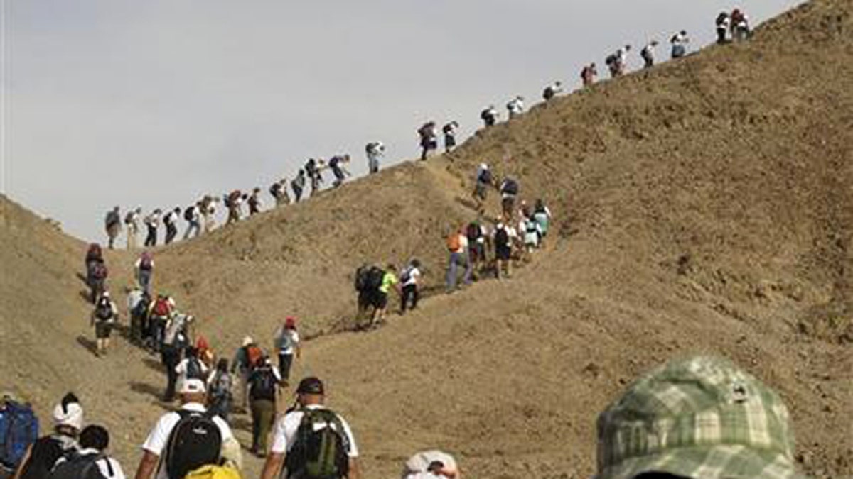
There are no buses, no guided tours, no crowds, and often no cell phone reception or running water. Instead, there is a chance to discover Israel's people, history and culture on the country's less-traveled paths.
The trail is beginning to catch on with Israeli hikers, but few foreign travelers have discovered it yet.
On a rare cold day last winter, I followed the footsteps of caravan traders along the ancient Perfume Road in southern Israel's Arava wilderness as the movement of clouds dotted the mountains with light. I took a break where those forgotten merchants would have - at the stone ruins of the Moa station, an inn built here by Nabateans two millenia ago for weary wayfarers bringing their wares from the interior to the bustling cities and ports of the Mediterranean coast.
Equally interesting was the human landscape. I joined a group of Israelis who walk the trail together every year, including a girl who grew up in a heavily guarded enclave of Jewish settlers in the West Bank city of Hebron, a farmer who grows date palms near the Sea of Galilee, and a 76-year-old kibbutz member with a passion for erotic poetry. They had little in common except for the love of nature and hiking.
The group is organized by the parents of an Israeli soldier who died in a helicopter accident in 1997, and who believe the best way to commemorate their son is to bring people together and walk.
Although the distance between Israel's northernmost and southernmost tips is 292 miles (470 kilometers), the footpath includes approximately 620 miles (1,000 kilometers) of marked trails, snaking between the desert in the south and the hills near Jerusalem, the Mediterranean coast, and the northern Galilee region.
The trail tells the story of the history of this land starting from long before Israel's current conflicts: The Romans, the Ottoman Turks and the British are all in evidence. To avoid modern-day frictions, the trail's planners made sure it would go through only land that is not in dispute, leaving out the West Bank and the Golan Heights, which Israel captured in 1967.
The route, especially in the largely arid south, was also influenced by the need to skirt army training grounds, which take up around 60 percent of the Negev desert.
Inspired by the Appalachian Trail in the U.S., the trail was officially marked in 1995. Largely patched together by linking existing trails throughout the country, it is marked by distinctive white, blue and orange-striped trail markers. Parts of the trail follow camel or goat paths, while others follow dirt roads and others follow no recognizable path at all.
Recognizing that few will be able to hike the trail in its entirety, the route's planners divided it into smaller sections which can be hiked separately, depending on the season and time constraints. Some sections can be completed in day trips or brief weekend excursions.
Several weeks of walking brought me into Israel's heavily populated center. There were blooming fields and sandy beaches, and also bustling cities, highways and high voltage electricity poles, which seemed strange after so long in the desert. This, I thought, reflects the country's human landscapes, colorful, conflicted and condensed.


