


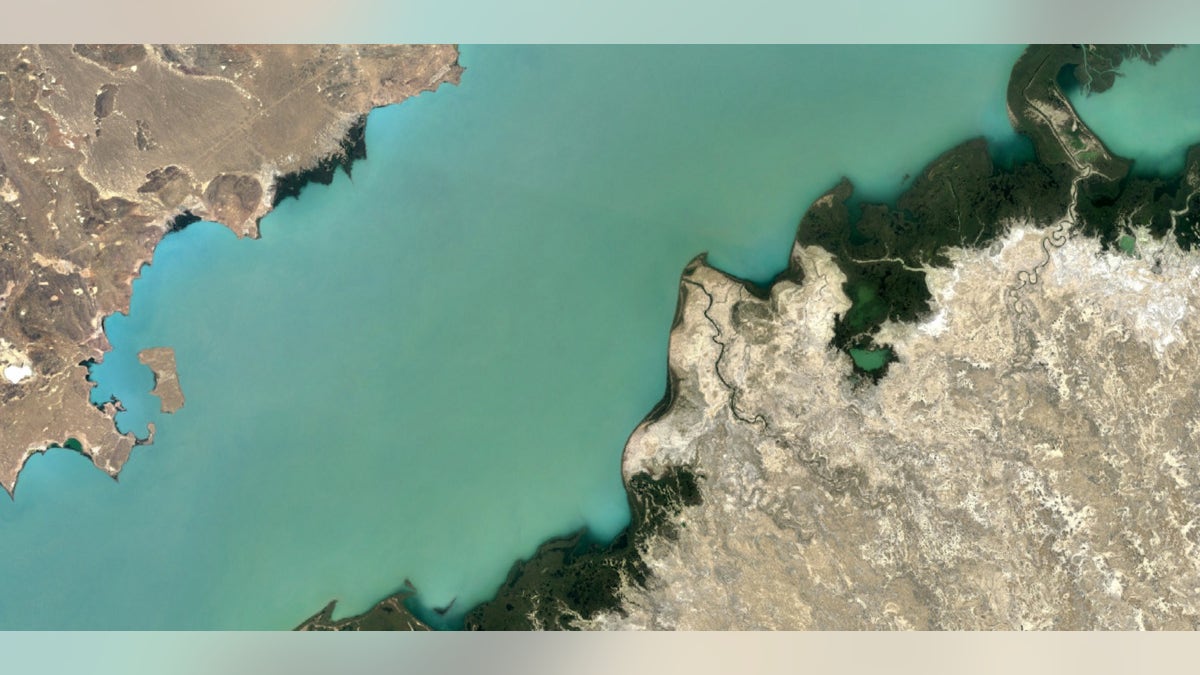
Lake Balkhash, Kazakhstan (Google Earth).
New images released on Monday by Google Earth from the Landsat 8 satellite are giving viewers a crisp, stellar glimpse of our planet.
In a blog post, Google Earth Engine program manager Chris Herwig explained exactly how the updated technology takes the satellite view of earth from extraordinary to breathtaking. According to Herwig, the new images harness the power of the Landsat 8 satellite. Google Earth had relied on images from the satellite’s predecessor, Landsat 7. However, Landsat 7 images taken after 2003 suffered a setback when a hardware failure created large, diagonal gaps of missing data.
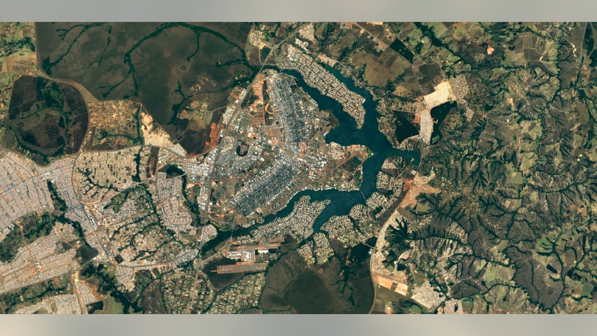
Brasilia, Brazil (Google Earth)
Similarly, Herwig wrote, when satellite images are taken, they are often cloudy, but in different locations. To remedy this, the team combed through millions of images, chose the clearest pixels and stitched together a resulting cloud-free, seamless image of Earth.
Related:
“Landsat 8 captures images with greater detail, truer colors, and at an unprecedented frequency — capturing twice as many images as Landsat 7 does every day,” wrote Herwig. “This new rendition of Earth uses the most recent data available -- mostly from Landsat 8 -- making it our freshest global mosaic to date.”
Landsat is a joint effort of the USGS and NASA. It has been in operation since 1972. The program uses the same Earth Engine APIs that are used to track tree cover, loss and gain and to predict global malaria outbreaks. In 2013, Landsat 8 launched into orbit and has provided twice as many images as Landsat 7, according to Google Earth.
Images can now be viewed using Google Earth or the satellite layer on Google Maps.

Get a daily look at what’s developing in science and technology throughout the world.