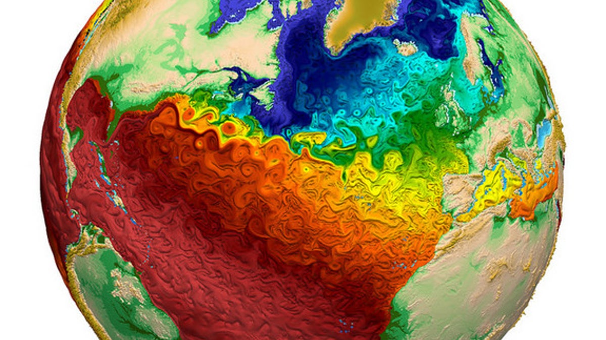
Global water surface temperatures. (Los Alamos National Laboratory)
A new global map of the world's oceans is so visually stunning that it could be mistaken for art.
The paintlike swirls of the visualization, which was released earlier this month by Los Alamos National Laboratory, depict global water surface temperatures. And the resulting image is beautiful.
Blue areas designate cool temperatures, and reds indicate warmer temperatures. The map shows a clear divide between the Northern Hemisphere and the Southern Hemisphere, but finer details — including trapped regions of hot water adjacent to the Gulf Stream in the Atlantic Ocean, and warmer water in the Mediterranean — can also be seen. [Earth from Above: 101 Stunning Images from Orbit]
The simulation is dubbed the Model for Prediction Across Scales Ocean (MPAS-O). It's a variable-resolution model, which means researchers can easily sharpen the simulation's resolution on regional scales (where they have more data). In fact, the map has a resolution of 9 miles in the North Atlantic and 47 miles elsewhere.
MPAS-O uses data from the National Oceanographic Data Center's World Ocean Circulation Experiment — the most comprehensive data set ever collected from the global ocean. For years, researchers sailed the world's oceans and dropped instruments overboard every 35 miles. The instruments measured water temperature and salinity at regular intervals from the surface to the seafloor.
The simulation will help researchers understand ocean temperatures, which add to the climate's complexities by acting like giant sponges for additional heat. The model's ability to simulate eddies — small pockets of moving water that break away from the main current and help transport heat through the oceans — as broad paint-brush strokes is already promising. Such fine details will help researchers accurately model the effects of climate change.
The model itself is only a small part of the U.S. Department of Energy's Accelerated Climate Model for Energy (ACME), which is expected to be the most complete climate and Earth system model once it is finished. The model is being developed with resources from 14 research institutions across the United States, including eight national laboratories.
ACME, which will be created on the country's most advanced supercomputers, will answer questions in three areas that drive climate change: Earth's water cycle, biogeochemistry and the cryosphere (the ice-covered regions of the planet).
- 6 Unexpected Effects of Climate Change
- Images of Melt: Earth's Vanishing Ice
- 50 Interesting Facts About The Earth
Copyright 2015 LiveScience, a Purch company. All rights reserved. This material may not be published, broadcast, rewritten or redistributed.


