Fox News Flash top headlines for January 23
Fox News Flash top headlines are here. Check out what's clicking on Foxnews.com.
A two-tiered storm system is set to hit both coasts on the heels of a week of dangerous wind gusts and heavy rain.
The low-pressure system will head east, tracking across Colorado's Rockies and the Plains as well as dusting widespread areas, according to the National Weather Service.
YOSEMITE NATIONAL PARK TEMPORARILY CLOSED AFTER WINDSTORM HITS CALIFORNIA
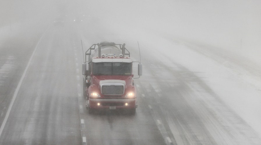
To the southwest, forecasters say several locations may receive a few inches of heavy snow, creating hazardous travel conditions, before the system moves into the lower Mississippi Valley on Sunday.
Moderate to heavy rainfall is also expected, potentially leading to flash flooding along the frontal boundary.
In the Midwest, a high-pressure system from Canada will move south, keeping temperatures frigid into next week, the Weather Service said.
Leeward areas can expect heavy lake-effect snow through Saturday evening, though more rain and a wintry mix will impact the Plains and Mid-Atlantic to the Northeast into next week.
California, which was battered by intense winds earlier this week, can anticipate rain in lower elevations and mountain snow.

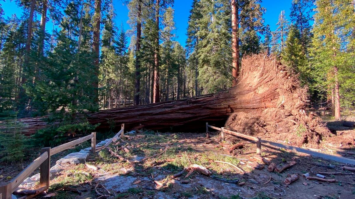
This photo provided by Yosemite National Park shows a fallen giant sequoia that came down during the Mono wind event on Tuesday, Jan. 19, 2021 in Yosemite National Park. Yosemite National Park will remain closed through the weekend after high winds that battered much of California knocked down two giant sequoias and caused millions of dollars in damage. (Yosemite National Park via AP)
On Sunday morning, a Pacific Northwest front will begin moving inland to the Great Basin. By afternoon, the system will cross Washington and Oregon into Northern California.
Yosemite National Park has been closed since a powerful windstorm knocked down two giant sequoia trees and caused millions of dollars in damage.
CLICK HERE FOR THE FOX NEWS APP
Nearby, the Mariposa County board of supervisors voted unanimously in favor of declaring a local emergency and requesting state and federal aid, according to media reports.
The county's emergency proclamation must be ratified by Gov. Gavin Newsom.


