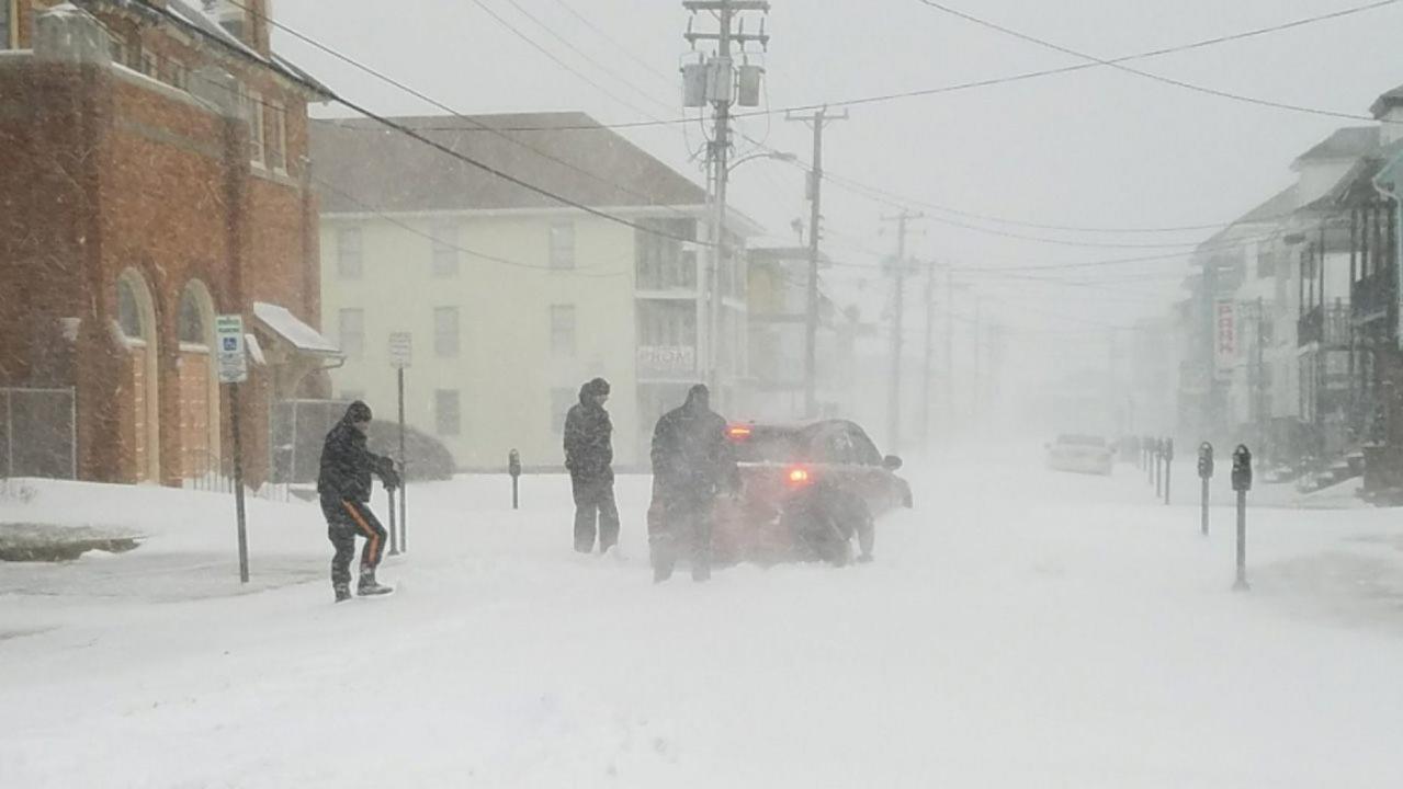
The official start of winter may be more than a month away, but an early preview is on the way for later this week in parts of the Midwest and Northeast.
The National Weather Service's Weather Prediction Center said a storm system is forecast to produce the first "measurable snowfall of the season" for parts of the eastern Great Lakes, northern Mid-Atlantic and New England through Friday.
A series of weak storms this week is bringing a mix of rain and snow across the Northern Plains into the Great Lakes, helping to set the stage for more wintry weather later this week, according to Fox News Senior Meteorologist Janice Dean.
WINTER LIKELY TO BE WARMER BUT HAVE 'LARGE SWINGS' IN TEMPERATURES AND PRECIPITATION, NOAA SAYS
"There's some cold air moving in," Dean said on "Fox & Friends" Tuesday. "A couple of shots of cold air, not only that but some snow in the forecast. Along the coast, we are not going to get snow but we could see some measurable snow across the Great Lakes and the interior Northeast."
The WPC said that two "potent" cold fronts will swing through the central and eastern U.S., bringing widespread temperatures well below-average between Thursday and early next week.

Snowfall forecasts for the Midwest and Northeast through Friday. (Fox News)
As a cold front pushes through the region on Thursday, light rain and snow are expected across the Northeast.
"As the front exits the New England coast on Friday, a low-pressure system may develop and strengthen, leading to a swath of light-to-moderate snow," the WPC notes. "The greatest chance for accumulating snow greater than 4 inches currently stretches from northern Pennsylvania to Maine, but uncertainty still remains on exact amounts and location."
Parts of Pennsylvania and upstate New York may see a range from 1 to 3 or 3 to 6 inches, with higher totals into New England, according to AccuWeather. A cold rain is likely from Philadelphia to New York City and a mix further up to Boston as the storm moves north.

Light snow and rain are expected across the Great Lakes and into parts of the Northeast as a cold front moves through the region. (Fox News)
Lake-effect snow is also possible as the cold front moves through on Friday evening and again on Sunday into Monday as a second cold front crosses the Great Lakes, according to forecasters. Once the storm moves out, frigid temperatures are expected to stick around.
WINTER TO FEATURE 'POLAR COASTER' MIX OF FRIGID TEMPERATURES, SNOW: FARMERS' ALMANAC
Low temperatures below freezing could reach as far south as central Mississippi on Saturday, with lows in the single digits possible across the Northern Plains on Monday.

Winter-like temperatures are forecast for the Midwest and into the Northeast by the end of the week. (Fox News)
"Much colder air is in the forecast next week with better chances of snowy weather," Dean said.
While winter doesn't officially begin until Dec. 21, government forecasters have advised there may be some "large swings" due to volatile weather patterns. The National Oceanic and Atmospheric Administration said in its winter outlook that warmer-than-average temperatures are forecast for much of the U.S. this winter, with a wetter-than-normal season from December through February across the northern parts of the country.
But forecasters admitted that global climate patterns that typically influence winter weather patterns are weak this year, leading to complicated forecasts.
CLICK HERE FOR THE FOX NEWS APP
The Farmers' Almanac, which says it bases its long-range forecast "on a mathematical and astronomical formula developed in 1818," has said "bitterly cold winter conditions" will be in place from areas east of the Rockies all the way to the Appalachians, with the coldest outbreak of the season arriving during the final week of January and lasting through the beginning of February.
The Farmer's Almanac said that this upcoming winter will be "filled with so many ups and downs on the thermometer, it may remind you of a 'Polar Coaster.'"


