Fox News Flash top headlines for June 29
Fox News Flash top headlines are here. Check out what's clicking on Foxnews.com.
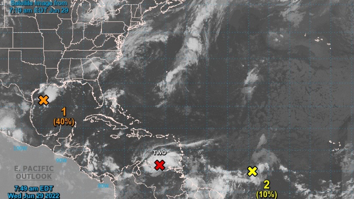
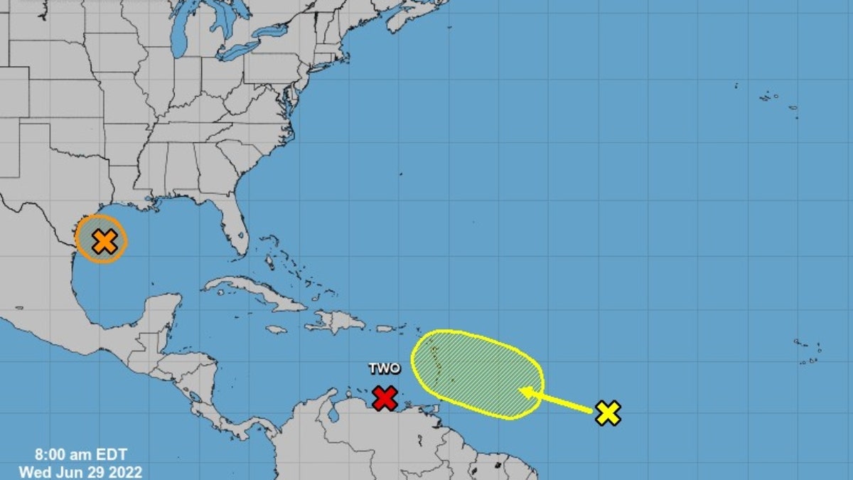
The National Hurricane Center (NHC) is currently monitoring a disturbance in the northern Gulf of Mexico that is forecast to approach Texas.
The agency reports that some slow development is possible and that it could become a "short-lived tropical depression" near the coast before moving inland on Wednesday night or early on Thursday.
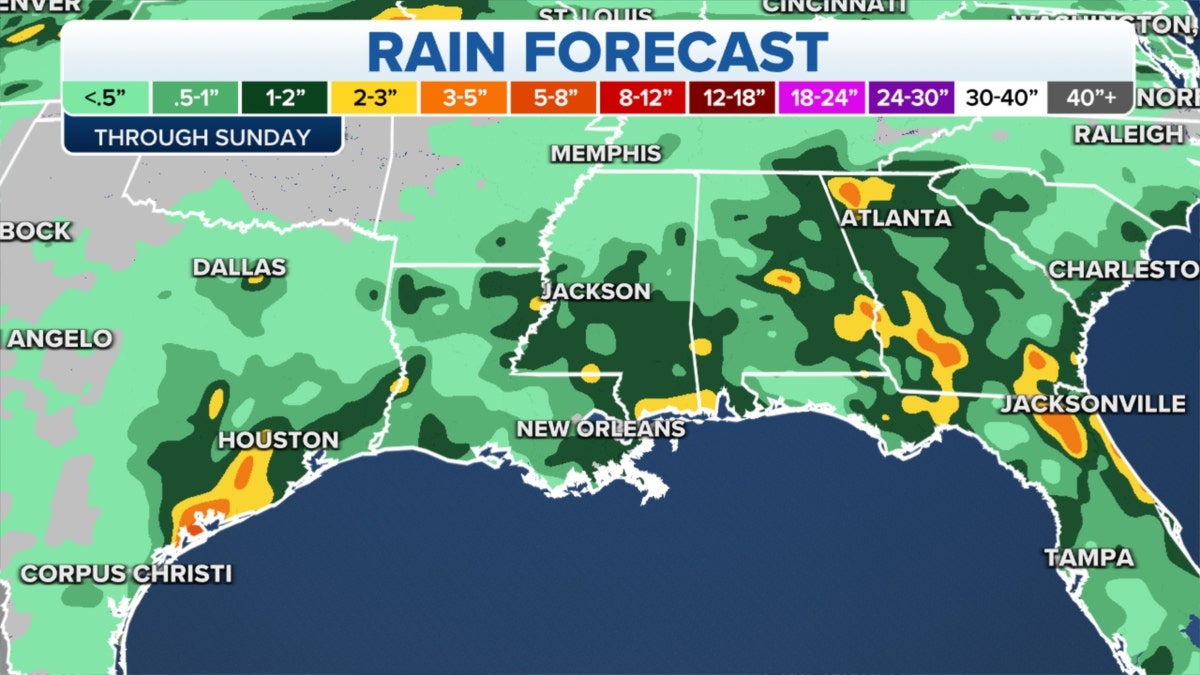
"Regardless of development, heavy rain will be possible along portions of the Texas coast for the next few days," the NHC said.
An Air Force Reserve Hurricane Hunter plane was scheduled to investigate the disturbance.
RAIN EXPECTED IN GULF AS PLAINS TEMPERATURES CRANK UP

The disturbance in the northern Gulf of Mexico (National Hurricane Center)
It has about a 40% chance of forming through 48 hours and in the next five days.
FOX News' Janice Dean reported that the slow-moving system would bring the risk of heavy rain, and that scattered showers and thunderstorms will also move through the Southwest.
So, what is a tropical disturbance?

Rainy weather over the Gulf (Credit: Fox News)
COAST GUARD RESCUES 7 AFTER LIGHTNING STRIKES BOAT 100 MILES OFF FLORIDA
According to the National Weather Service (NWS), a tropical disturbance is a tropical weather system of organized convection that is generally 100-300 miles in diameter, originating in the tropics or subtropics.

The disturbance in the northern Gulf of Mexico over five days (National Hurricane Center)
The term "Potential Tropical Cyclone" (PTC) is used to describe a disturbance that is not yet a tropical cyclone, but poses the threat of bringing tropical storm or hurricane conditions to land areas within 48 hours.
CLICK HERE TO GET THE FOX NEWS APP
Comparatively, a tropical depression is a tropical cyclone that has maximum sustained surface winds of 38 miles per hour or less.


