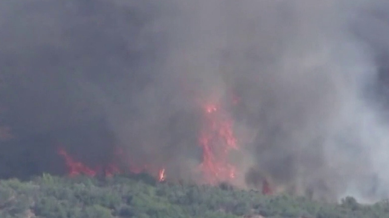
A storm system that brought a dreary week to the Southeast is finally on the way out for the weekend, but the threat of severe weather returns Thursday across the Plains into the upper Midwest.
Parts of the Mid-Atlantic, the Carolinas and the Ohio Valley will get wet weather and thunderstorms again Thursday as the stubborn storm system sticks around.
But the area of low pressure is finally weakening and moving northward. Cool, wet and dreary conditions will stick around as the upper-level low pressure gradually weakens.
Temperatures in this region have been way below average for this time of year, but will begin to warm up heading into the weekend to highs in the 80s.
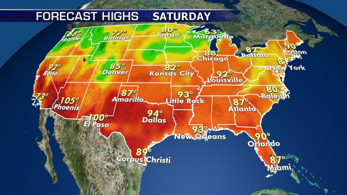
Summer-like temperatures will return across the country on Thursday. (Fox News)
Summer officially arrives on Saturday, with the summer solstice at 5:43 p.m. EDT and a large portion of the country will be treated to warm temperatures.

The summer solstice arrives this upcoming Saturday. (Fox News)
Florida will still deal with stormy weather for the next few days. Portions of central and southern Florida could see several inches of rain.
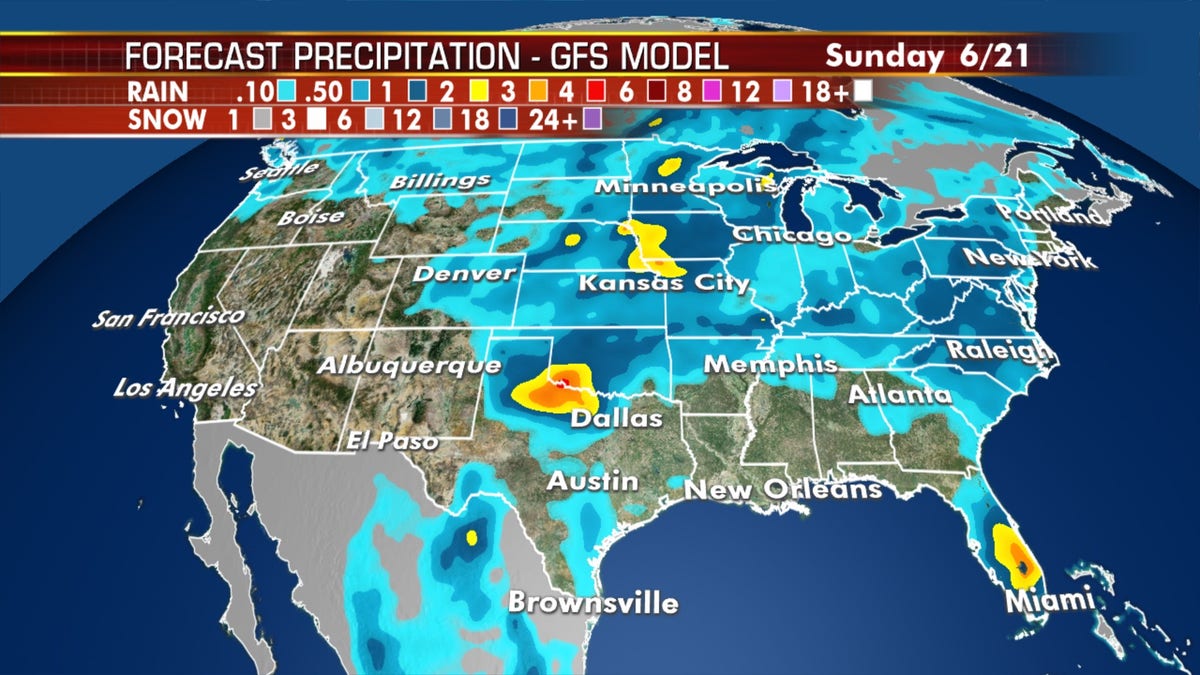
Parts of Florida could see several inches of rain over the next couple of days from strong thunderstorms. (Fox News)
Summer-like temperatures and storms in Plains, Midwest
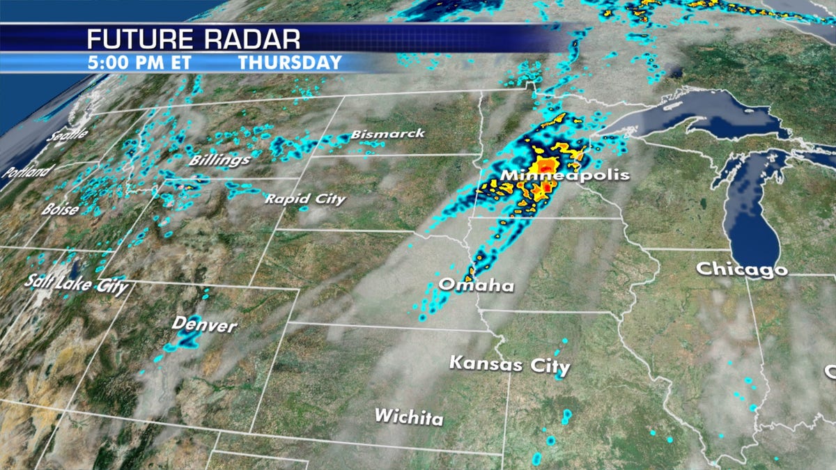
The threat for severe weather on Thursday is in the Northern Plains and Upper Midwest. (Fox News)
While cool conditions have been a theme across the East, summer is in full swing over the Plains, Midwest and Great Lakes.
The system that brought heavy June snow to the Northern Rockies will push into the Plains Thursday, bringing another round of isolated strong storms from northern Kansas to Minnesota.
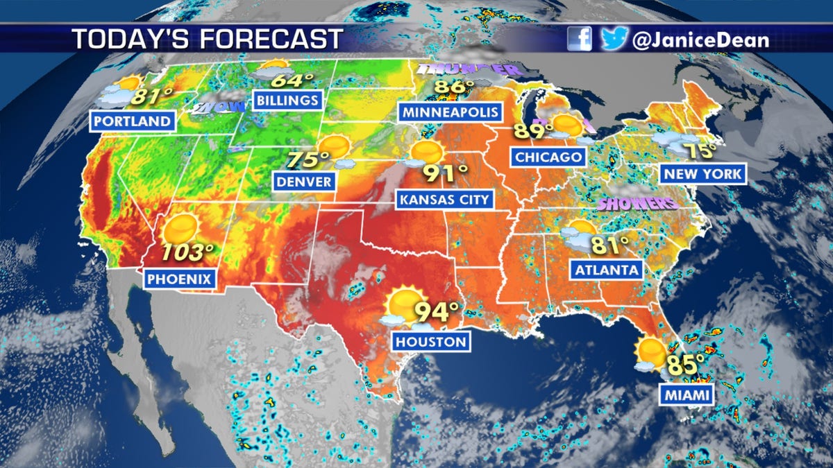
The national forecast for June 18, 2020. (Fox News)
Large hail, damaging winds and a few tornadoes are possible in this region.
CLICK HERE FOR MORE WEATHER COVERAGE FROM FOX NEWS
Cool temperatures will persist over the Intermountain West and Rockies, with 10-20 degrees below average.
Wildfire danger begins to ease
Fire danger is relaxing for much of the West, except in southeast Arizona and southwest New Mexico,.
CLICK HERE FOR THE FOX NEWS APP
In those areas, breezy hot dry conditions persist on Thursday, and fire weather remains elevated in the region.
Fox News' Brandon Noriega contributed to this report.
