Fox News Flash top headlines for May 8
Fox News Flash top headlines are here. Check out what's clicking on Foxnews.com.
Severe weather is set to threaten much of the U.S. again this weekend, bringing fire danger to the West and more flooding and tornadoes over Central states.
On the heels of weeks of deadly storm systems, the National Weather Service (NWS) said Saturday that a strengthening "low pressure and frontal" system is expected to move across the Central Plains toward the Ohio Valley.
FIRST TROPICAL SYSTEM OF 2021 IN WESTERN HEMISPHERE COULD FORM BY NEXT WEEK
Heavy rainfall and thunderstorms are forecast for the Central Plains, bringing scattered flash flooding and one to two inches of rainfall to the region and into the Middle Mississippi Valley.
In addition, a Slight Risk of severe weather -- including tornadoes, wind and hail threats -- is in place, according to the NWS Weather Prediction Center.

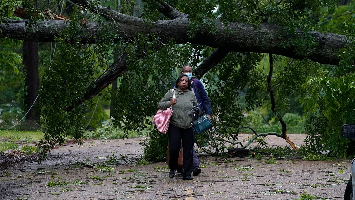
Northeast Jackson, Miss., residents leave their powerless home after utility lines were brought down by trees and debris spread by high winds Tuesday, May 4, 2021. The severe weather was not unexpected, since the state was hit with a number of tornadoes on Sunday. (AP Photo/Rogelio V. Solis)
Over the last few weeks, tornadoes and baseball-sized hail have torn through the South and Gulf Coast, killing several people, forcing water rescues, knocking out power for hundreds of thousands and destroying vehicles, homes and businesses.
On Sunday, the cold front associated with the system is predicted to move southward, bringing Slight Risks of severe weather into the Mid-South.
Moderate to heavy rainfall is reportedly also a concern across the Ohio Valley on Sunday.
GIANT SEQUOIA TREE FOUND STILL SMOKING FROM 2020 CALIFORNIA WILDFIRE
Freeze Warnings and Frost Advisories are in effect on Saturday for parts of the Ohio Valley and Upper Great Lakes region, with lows in the 30s.
Temperatures will also be "well below normal" across the northern tier states and most of the eastern U.S. before a warm-up in the Southeast to Carolinas on Sunday.
To the west, snow is forecast in the Northern and Central Rockies over the next two days and around a foot of snow could accumulate in the highest elevations through Monday morning.
Some late-season snow is also possible in the Northern High Plains, with potential accumulations of one or two inches.
CLICK HERE TO GET THE FOX NEWS APP
Across the south-central U.S. and parts of the High Plains, temperatures are rising into the 90s and South Texas will see temperatures in the 100s.
Dry and warm conditions in northern California, the Southwest and Southern High Plains have prompted the issuance of Red Flag Warnings and Elevated to Critical Risks of fire weather.


