Arkansas residents forced to flee their homes amid historic flooding
Charlie Lapastora reports.
Flooding that's already spawned months of misery across the Midwest is expected to grow even worse this week when several major rivers are forecast to approach record levels, potentially leading to catastrophic damage in the surrounding communities.
The National Weather Service's Weather Prediction Center warned of a moderate risk of excessive rainfall in portions of Iowa, Missouri and Illinois on Tuesday and Wednesday, with 5-to-7 inches of precipitation expected across the region.
"Flood advisories are in effect, watches and warnings in some of the same neighborhoods we have been talking about for month," Fox News Senior Meteorologist Janice Dean said Tuesday on "FOX & friends." "They can't take any more rainfall and all of that is going to go downstream."
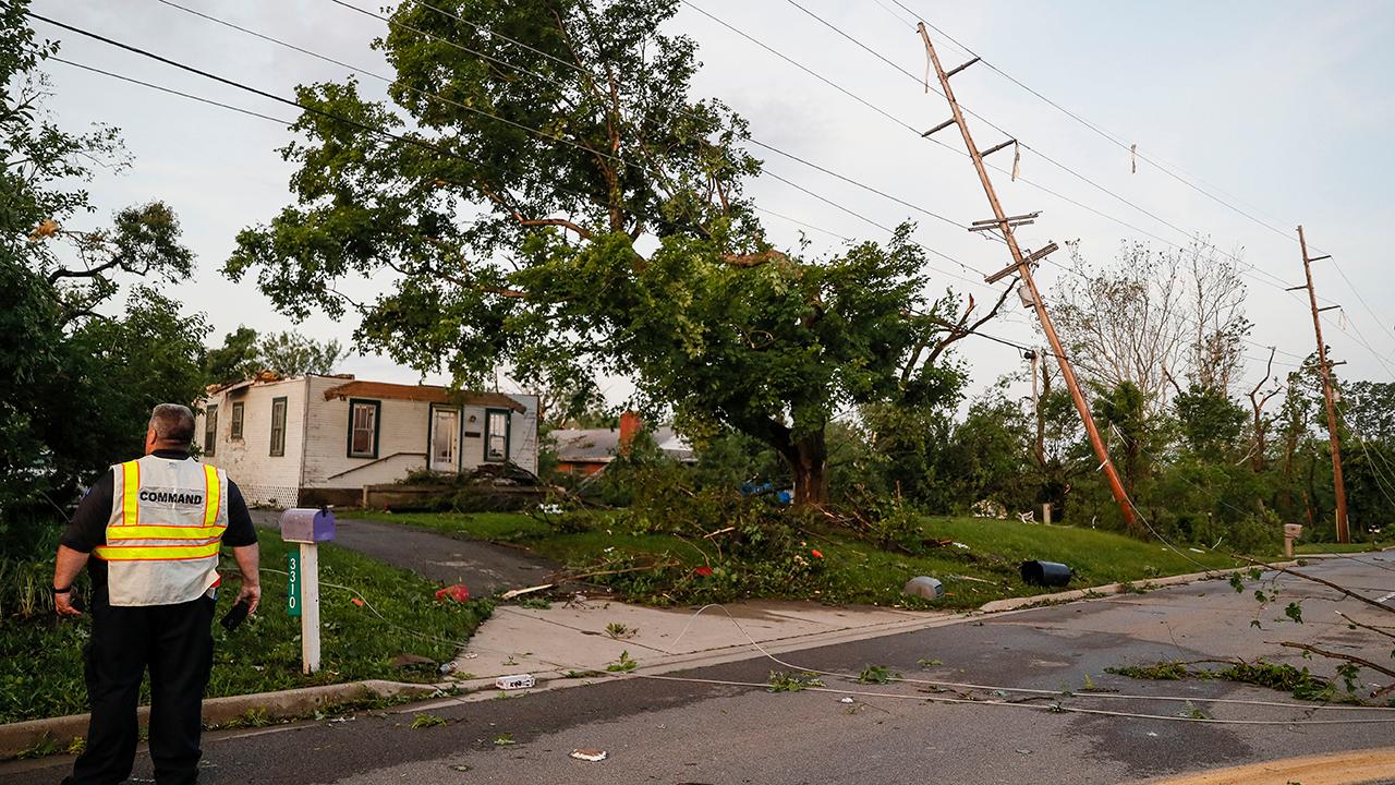
AT LEAST 5 MILLION AFFECTED BY POWER OUTAGES ACROSS OHIO AFTER TORNADOES, STORMS HIT STATE
All of the rain pouring into the areas is draining into major rivers, sending water levels soaring to near-record territory.

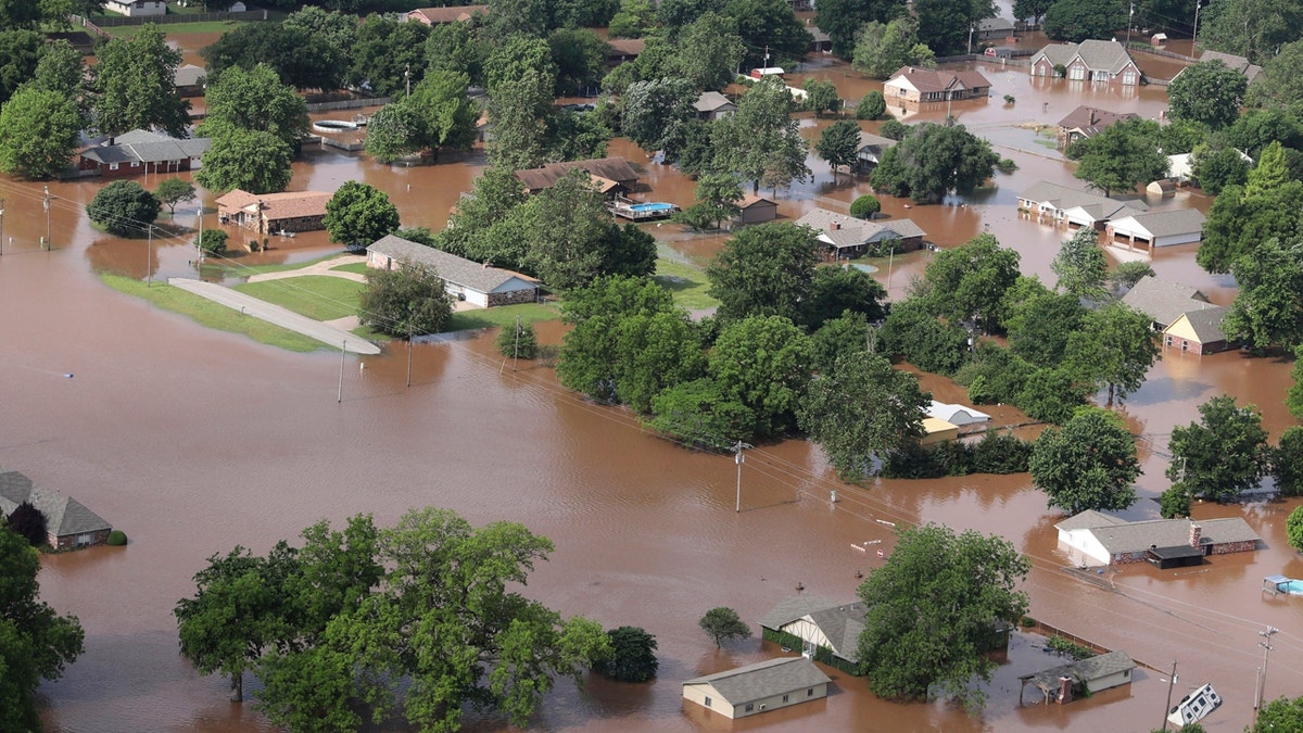
Homes are flooded near the Arkansas River in Tulsa, Okla., on Friday, May 24, 2019. (Tom Gilbert/Tulsa World via AP)
The NWS St. Louis office said the Mississippi River is projected to swell to a crest of 44 feet in St. Louis this week, which would be the second-highest it's been in recorded history. The only greater mark was recorded in 1993 when the river was 5 1/2 feet higher.
“This has definitely been a year for the record books. It’s certainly on the short list for worst [local] river flooding ever,” Thomas Spriggs, a senior meteorologist NWS St. Louis, told the St. Louis Post-Dispatch. “It’s going to go on for a while longer yet.”
The Mississippi River at St. Louis has been above flood stage for 73 consecutive days this year.
Missouri Gov. Mike Parson activated the Missouri National Guard on Monday, deploying units to Chariton County to support sandbagging operations designed to shore up a levee near Brunswick, Mo., FOX2 reported.
“Missouri has been battling historic flooding since March, which is depleting local resources, and now flooding conditions in many parts of the state are only getting worse," Parson said Monday. "In addition, communities from Carl Junction to Jefferson City are facing the challenge of recovering from tornadoes and severe storms, further challenging civilian resources. The Guard has demonstrated its capabilities in response to natural disasters across Missouri, and I know they’ll make a difference at this critical time.”
The situation is even worse further south, where the Arkansas River is expected to crest Wednesday in Van Buren at 42.5 feet — or more than 4 feet above its historic high, which occurred in 1945.
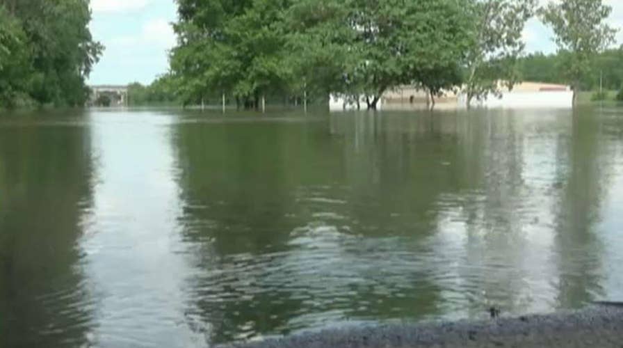
"We're witnessing a record flood, something as we've never seen before," Fort Smith George McGill said Sunday. "Rest assured we're going to recover from this. The flood is going to be record-breaking, but it's not going to break Fort Smith, and it's not going to break the River Valley."

People stand in the middle of Rogers Avenue and look out over the flooded Massard Creek at the intersection of Meandering Way and Rogers Avenue, in Fort Smith, Ark., Saturday, May 25, 2019. (Jamie Mitchell/The Southwest Times Record via AP)
State highway officials have closed two bridges over the Arkansas River in Fort Smith as the waterway surges toward a record crest this week, KNWA reported.
CLICK HERE FOR THE FOX NEWS APP
The Arkansas Department of Transportation said the Interstate 540 and the U.S. 71B bridges were shut down Monday night because of flooding concerns, though the department says both structures remain sound. Forecasters say up to 4 inches of rain is possible this week in the waterlogged areas.

Volunteers fill sandbags at the soccer field parking lot in Chaffee Crossing, Ark., Saturday, May 25, 2019, for distribution throughout the area for flood-prone areas around homes. (Jamie Mitchell/The Southwest Times Record via AP)
"We could see incredible damage, possibly catastrophic damage for these areas that are affected by heavy rainfall," Dean said. “Some of those areas could get hit hard by catastrophic flooding, people are being told to evacuate their homes right now."
Evacuations in nine counties were ordered for people in low-lying areas, according to KWNA. The Red Cross reported 16 people were in shelters so far.
The Associated Press contributed to this report.


