Fox News Flash top headlines for May 21
Fox News Flash top headlines are here. Check out what's clicking on Foxnews.com.
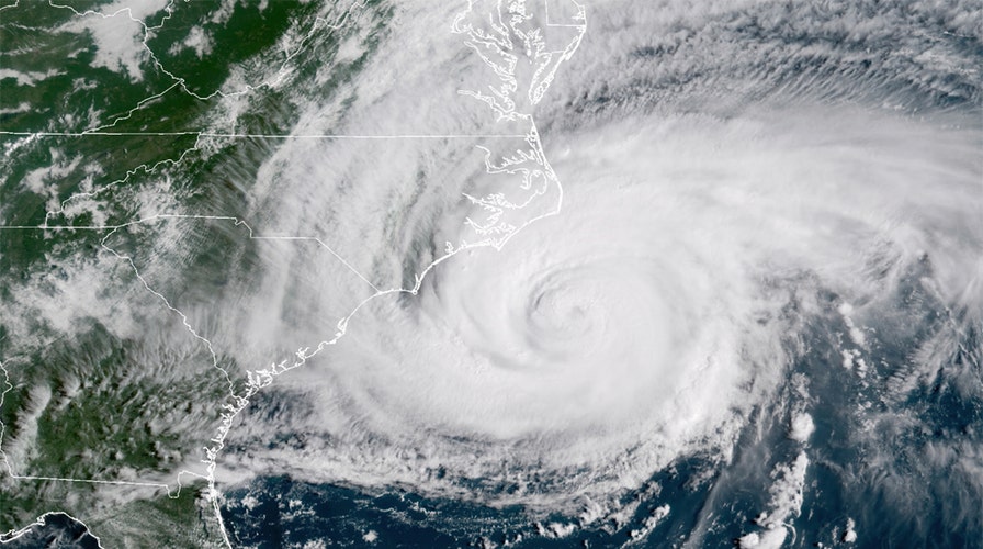
The National Oceanic and Atmospheric Administration's National Hurricane Center (NHC) said Friday it was continuing to track two disturbances ahead of the official start of the Atlantic hurricane season on June 1.
One of the areas of disturbance is reportedly located over the Atlantic Ocean around 450 miles east-northeast of Bermuda.
NOAA PREDICTS ANOTHER BUSY ATLANTIC HURRICANE SEASON
In a Facebook post, the agency said the non-tropical low pressure area had not yet acquired subtropical storm characteristics.
"However, if current trends continue, advisories could be initiated on the system later today or tonight as it moves westward to west-southwestward to the northeast of Bermuda," NHC wrote, giving the area an 90% chance of formation a period of 48 hours and five days. " Subsequently, the low is forecast to move northeastward into a more hostile environment by Saturday night or Sunday."
While NHC initially described the second area of interest for potential development as a "disorganized area of cloudiness and thunderstorms" over the Gulf of Mexico that was "associated with a surface trough of low pressure," the agency said recent satellite imagery suggested a low-level circulation was forming, associated with a "mid-to-upper-level disturbance" over the area.
Shower and thunderstorm activity remains disorganized, but NHC experts said that conditions are anticipated to be "marginally conducive for development" leading to the formation of a "short-lived tropical depression or storm" before the disturbance moves inland over the northwestern Gulf Coast.
NHC noted that there is around a 40% chance of formation during the next 48 hours.
It also warned that "regardless of development," the system could hit Gulf Coast states already battered by continuous flooding with even more heavy rainfall through the weekend.
Five people have been reported dead in connection with hazardous flash flooding in Louisiana this week.
Notably, the Atlantic hurricane season officially commences on June 1 and extends through Nov. 30.
In a briefing on Thursday, NOAA announced that the outlook for the season would be "above normal," predicting a likelihood of 13 to 20 named storms.
CLICK HERE FOR THE FOX NEWS APP
Earlier this year, NHC released the list of 21 names for 2021 Atlantic storms, beginning with Ana.
In the event that more than 21 named tropical cyclones occur, additional storms will use names from the Greek alphabet like during 2020's historic season.
The Associated Press contributed to this report.


