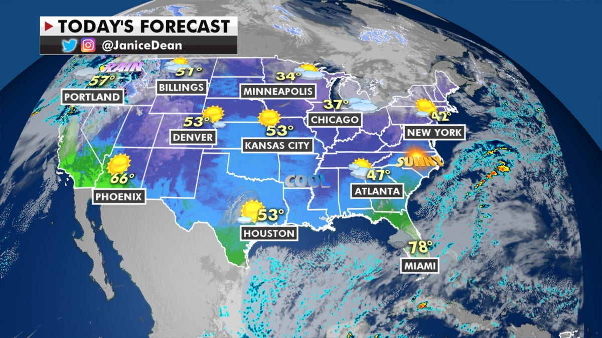
Some leftover wet weather for parts of the Southeast and mid-Atlantic will exit the coast on Tuesday.
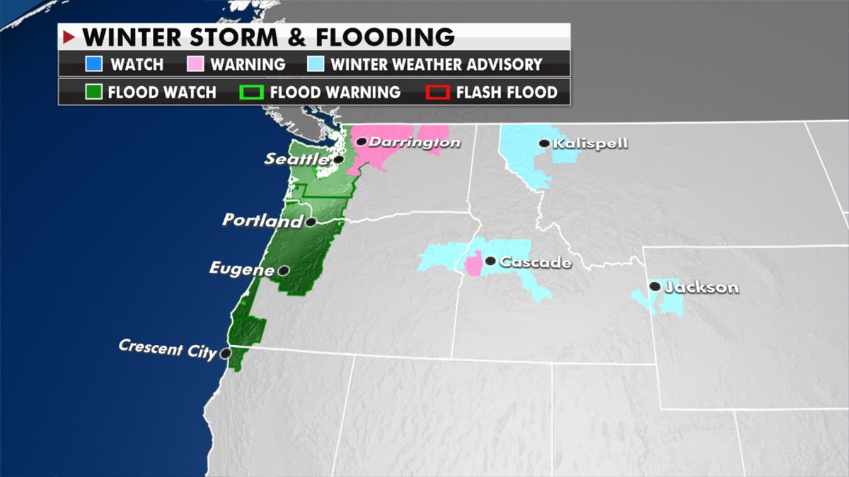
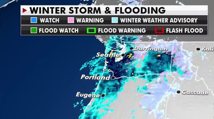
The region that continues to get hit hard is the Northwest, including Northern California -- with more heavy rain and snow. Flash flood watches are in effect for coastal and interior sections of the region, where several inches of rain will move in and over a foot of snow for the Cascades and the Northern Rockies is expected.
"A prolonged atmospheric river event expected to begin this evening," tweeted the National Weather Service on Monday night. "Heavy rain and snow will impact portions of the Pacific Northwest over the next couple of days."
TEXAS SEES RARE HEAVY SNOWFALL AS WINTER STORM SWEEPS THROUGH REGION

Forecast for Jan. 12, 2021. (Fox News)
Atmospheric rivers are long, narrow regions in the atmosphere that transport water vapor. On its website, NOAA compares the weather event to "rivers in the sky," noting that "when the atmospheric rivers make landfall, they often release this water vapor in the form of rain or snow."
"River and flash flooding are likely with this storm system, along with the threat for landslides in hilly areas," warned the National Weather Service, in another tweet.
CLICK HERE TO GET THE FOX NEWS APP

Flood watches and warnings, Jan. 12, 2021. (Fox News)
Temperatures will soar over the Plains with possible record highs over the next few days.


