Critical fire weather returned to the Western U.S. on Monday as the central part of the country faces some scorching heat.
The increased chances for wildfires are expected in Western states throughout the week.
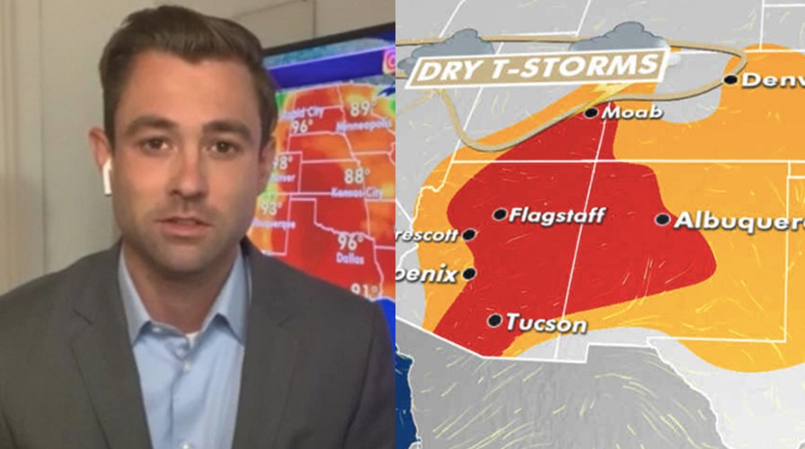
A combination of hot temperatures, low humidity, dry lightning and gusty winds will bring an elevated risk of critical fire weather across the Inter-Mountain West, Southwest and Southern Rockies.
FIREWORKS SPARK UTAH WILDFIRE THAT FORCED RESIDENTS OUT OF THEIR HOMES, OFFICIALS SAY
We are entering the early stages of the Southwestern monsoon season.

Critical fire conditions exist on Monday across the West and Southwest. (Fox News)
During these early stages, dry thunderstorms often occur. These storms produce lightning but little to no precipitation, which creates the perfect conditions for wildfires.

Critical fire conditions exist on Monday across the West and Southwest. (Fox News)
As the season progresses, more moisture moves into the area and wildfires become far less prevalent.
The heat is on across the Plains
Extreme heat is moving in on Monday across the northern Plains.

The national forecast for June 29, 2020. (Fox News)
Heat advisories have been issued for parts of northern Nebraska, the Dakotas, and western Minnesota.
Daytime highs will reach the middle 90s and heat indices will be near 105.
TAMPA TOPS OUT AT 99 DEGREES FAHRENHEIT, TYING ALL-TIME HEAT RECORD
Vulnerable populations will want to avoid spending long amounts of time in the heat during the afternoon hours.
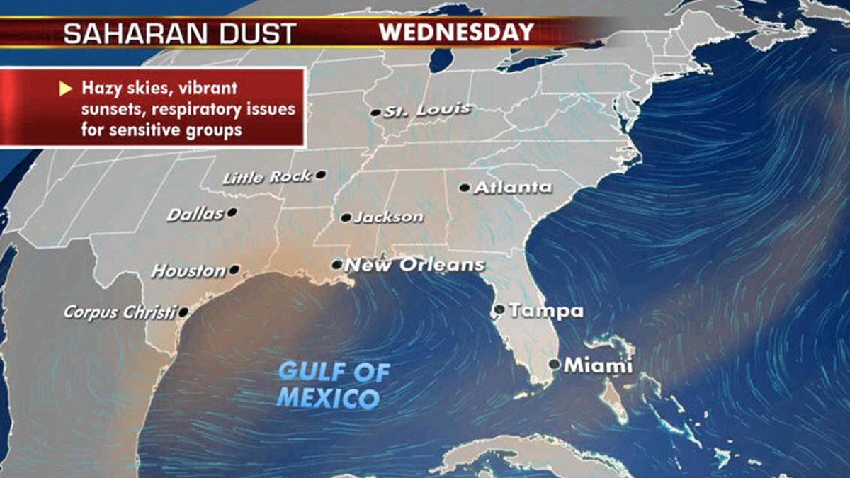
Saharan Dust layer lingers

Sahara dust layer continues to linger over the Southeast this week. (Fox News)
The Sahara dust layer will continue to linger over the Southeast this week.
CLICK HERE FOR MORE WEATHER COVERAGE FROM FOX NEWS
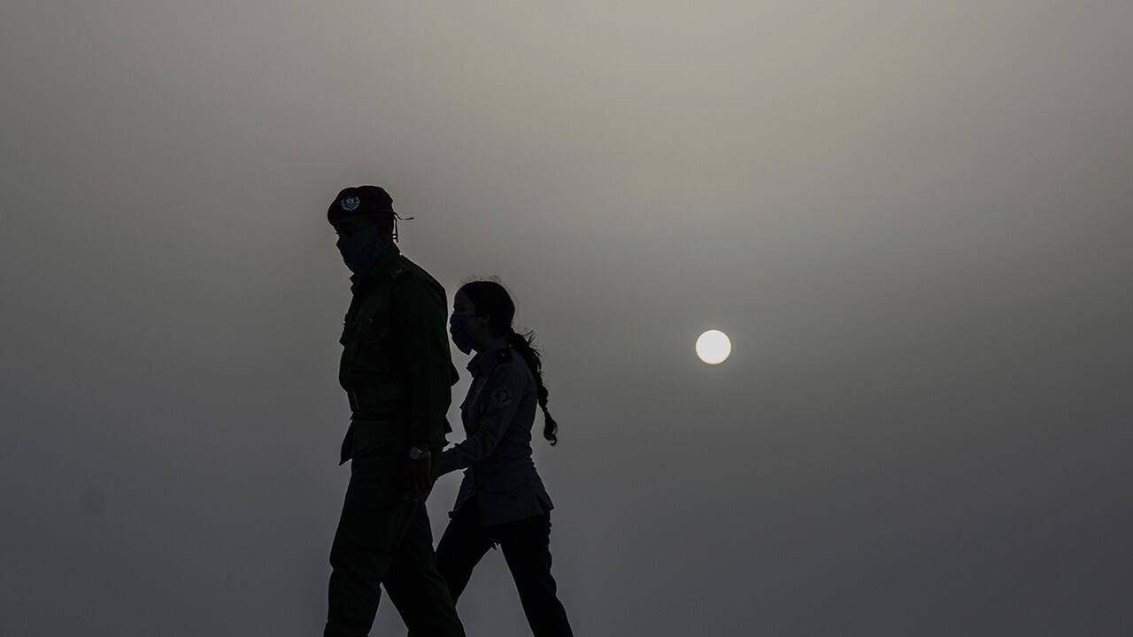
The thick layer of Saharan dust we’ve been watching for the past 10 days or so continues streaming across the Atlantic, Caribbean, Gulf of Mexico, and into the southeastern U.S.
While the majority of this dust travels above the surface, creating colorful sunsets and hazy skies, some dust at ground level can aggravate those with sensitive respiratory systems.
CLICK HERE FOR THE FOX NEWS APP
Dust in the atmosphere prevents hurricane development, and as such we aren’t forecasting any activity across the Atlantic for at least the next week.


