


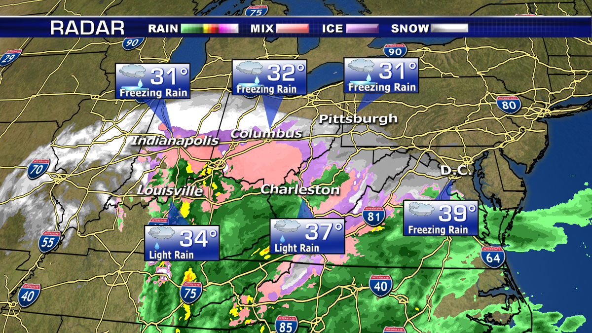
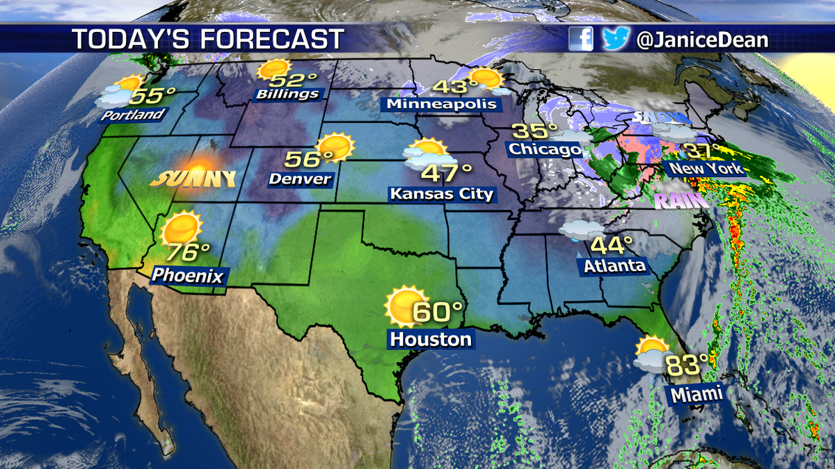
Wintry and icy conditions are ongoing from the Ohio River Valley to the Appalachians and Mid-Atlantic. More significant icing is possible across portions of Indiana, Ohio, and Kentucky.
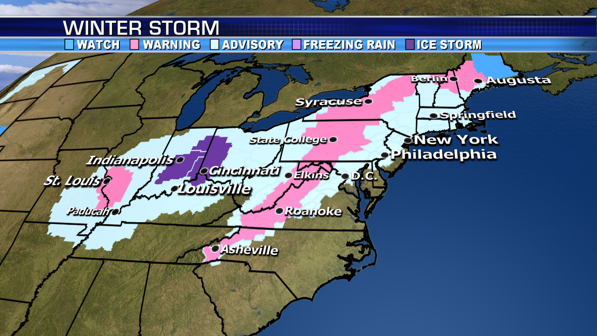
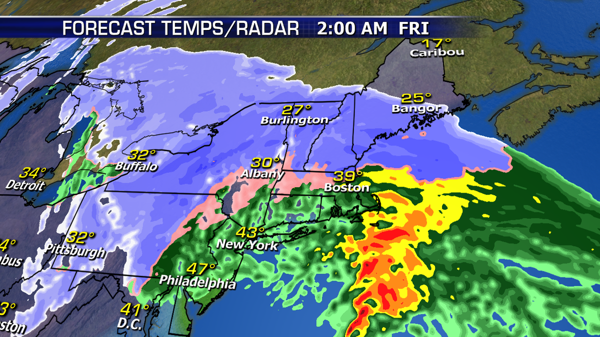
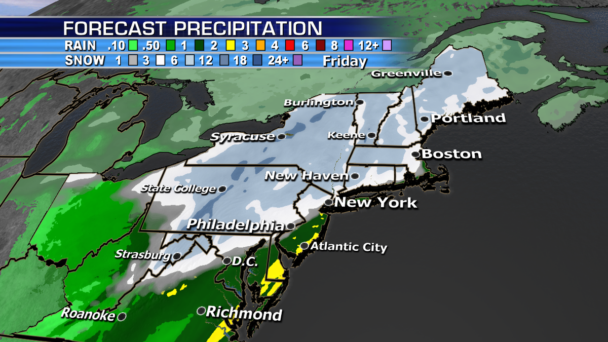
All of this wintry precipitation moves north and eastward today and tonight. The heaviest wet snow will fall across the Appalachians and interior Northeast. 5-10” is likely across central Pennsylvania into Upstate New York and interior New England. More of a snow/sleet mix, then rain will fall near the coast. Most of the rain, snow, and ice will wrap up by late Friday morning.
Farther south, flood watches are posted across the Southeast and coastal Mid-Atlantic as heavy rain continues over these areas. Isolated strong storms are even possible from coastal North Carolina to southeastern Virginia.

Fox News First
Get all the stories you need-to-know from the most powerful name in news delivered first thing every morning to your inbox.
By entering your email and clicking the Subscribe button, you agree to the Fox News Privacy Policy and Terms of Use, and agree to receive content and promotional communications from Fox News. You understand that you can opt-out at any time.