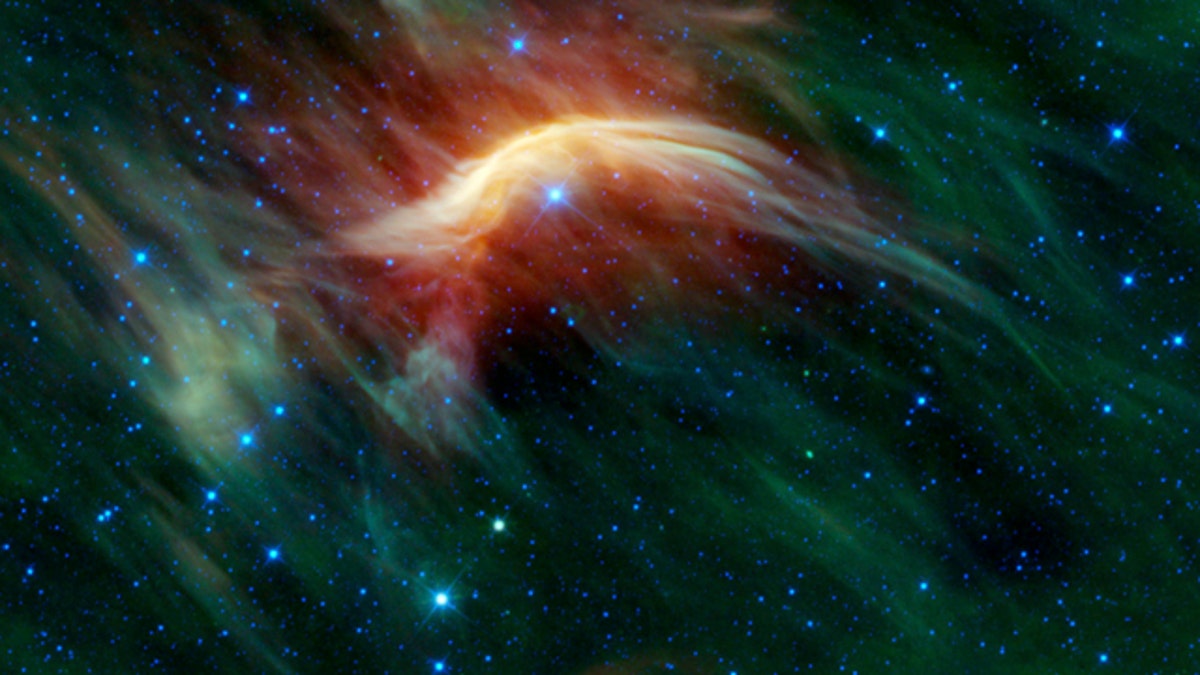
An undated image released by NASA taken by the WISE telescope shows a massive star plowing through space dust. The result is a brilliant bow shock, seen here as a yellow arc. (AP Photo/NASA)
LOS ANGELES – NASA has released a trove of data from its sky-mapping mission, allowing scientists and anyone with access to the Internet to peruse millions of galaxies, stars, asteroids and other hard-to-see objects.
Many of the targets in the celestial catalog released online this week have been previously observed, but there are significant new discoveries. The mission's finds include more than 33,000 new asteroids floating between Mars and Jupiter and 20 comets.
NASA launched the Wide-field Infrared Survey Explorer, which carried an infrared telescope, in December 2009 to scan the cosmos in finer detail than previous missions. The spacecraft, known as WISE, mapped the sky 1 1/2 times during its 14-month mission, snapping more than 2 1/2 million images from its polar orbit.
The spacecraft's ability to detect heat glow helps it find dusty, cold and distant objects that are often invisible to regular telescopes.
The batch of images made available represents a little over half of what's been observed in the all-sky survey. The full cosmic census is scheduled for release next spring.
"The spectacular new data just released remind us that we have many new neighbors," said Pete Schultz, a space scientist at Brown University, who had no role in the project.
University of Alabama astronomer William Keel already started mining the database for quasars -- compact, bright objects powered by super-massive black holes.
"If I see a galaxy with highly ionized gas clouds in its outskirts and no infrared evidence of a hidden quasar, that's a sign that the quasar has essentially shut down in the last 30,000 to 50,000 years," Keel said.
WISE ran out of coolant in October, making it unable to chill its heat-sensitive instruments. So it spent its last few months searching for near-Earth asteroids and comets that should help scientists better calculate whether any are potentially threatening.
The mission, managed by NASA's Jet Propulsion Laboratory, was hundreds of times more sensitive than its predecessor, the Infrared Astronomical Satellite, which launched in 1983 and made the first all-sky map in infrared wavelength.


