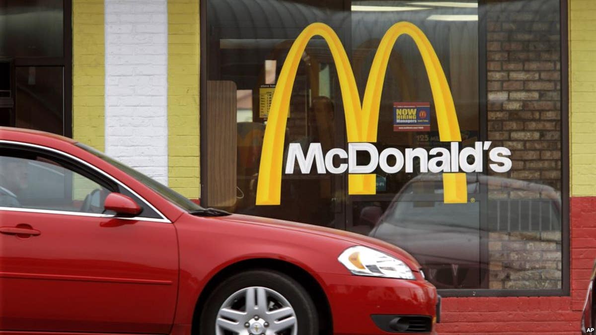
If you live in the U.S., chances are you're pretty close to a McDonald's. (AP File Photo)
How close are you to the nearest fast food joint? If you're Southern California, Florida and northern Maine, you probably can't escape them.
A new per capita distribution map of fast food restaurants around the U.S., compiled by the USDA’s updated Food Environment Atlas, shows where these eateries are most concentrated.
USDA Economic Research Service
Not surprisingly, if you live somewhere in the lower 48 states, the chances that you’re close to some burgers and fries are pretty good. In rural Montana and the Dakotas, patches of beige indicate zero proximity to a fast food restaurant—but those areas are sparsely populated.
The USDA’s Food Environment Atlas contains several updated maps including access and proximity to grocery stores around the country, as well as maps that correspond to measures of health and physical fitness.
The proliferation of fast food restaurants does not appear to directly correspond to obesity rates throughout the country. Florida, for example, which appears to have several high density areas of fast food restaurants is on the lower end of the nation’s obesity rate scale.
USDA Economic Research Service
